Back to top

April 4, 2024

Welcome to TQ’s First Issue

Welcome to TQ’s First Issue

Cover art for this issue of TQ is by our resident illustrator and graphic designer Mercedes Minck. Here you can see Merck (as she’s affectionately known around here) in action, painting a mural in our Campbell River office.

Welcome to the new Tula Quarterly! Three times a year TQ will give you highlights from Tula’s many collaborations and initiatives.

You can download the Tula Quarterly PDF or view online below.

The Dungeness crab on the cover honors the Sentinels of Change program featured in this issue. Thanks to a handy invention called a light trap, Sentinels brings students, scientists, fisheries managers, and volunteers from dozens of coastal communities down to their local docks and shorelines to track the larvae of Dungeness crabs—a species of major cultural and ecological importance in the Pacific Northwest.

April 4, 2024

Tracking the Sentinels of Change

A little trap lights the way for Salish Sea communities to engage with the ocean.

Tracking the Sentinels of Change

Jeannine Georgeson, coordinator of the Institute for Multidisciplinary Ecological Research in the Salish Sea, left, and Heather Earle, lead researcher for the Sentinels of Change, count megalopae in Whaler Bay on Galiano Island, British Columbia. Photo by Shanna Baker

Drop a light in a dark sea and a crowd starts to gather. The visitors who come to the show are planktonic larvae: young Dungeness crabs, along with tiny juvenile octopuses, squid, shrimp, and many other organisms. By suspending a light trap from an ocean dock—the traps are handmade from a water jug, a bucket, funnels, and an LED light—researchers and community volunteers are able to attract these organisms, trap them, and count them.

Light traps are one arm of the Hakai Institute’s Sentinels of Change research project, which explores the shifting dynamics of invertebrate biodiversity in the Salish Sea. Among the larval organisms that swarm the light traps, one is of particular interest to Sentinels participants: Dungeness crab megalopae. No bigger than a pinky fingernail, megalopae are juvenile crabs in the final swimming stage, just before they settle down to feed on the ocean floor—where they can grow to a shell width of over 20 centimeters.

Tracking the Sentinels of Change

A light trap hangs from a dock in Miners Bay on Mayne Island, British Columbia. Photo courtesy of the Mayne Island Conservancy

Dungeness crabs are of major ecological and cultural importance on the Pacific coast. They have been an important food source for many Indigenous communities for millennia, and are one of the highest-value fisheries in both Canada and the United States. The constellation of community-deployed light traps in the Salish Sea provides a vital indicator of stock abundance.

The first Sentinels of Change light trap pilot kicked off in 2022. Since then, dozens of community partners and organizations—including Fisheries and Oceans Canada along with First Nations, environmental NGOs, school groups, and businesses—have joined in, adopting light traps made by Hakai Institute researchers. Participants deploy the traps, bring up their catch, and catalog the organisms before releasing them back into the sea. 

As a community science initiative, Sentinels of Change encourages deeper relationships between coastal residents and the ocean, and the gathered data also helps scientists and managers develop critical baselines to track the general resilience of marine ecosystems in the face of climate change. 

“The quality and amount of data that we’re able to collect is really remarkable,” says Alyssa Gehman, a Hakai Institute marine ecologist and one of the lead researchers of the project. “It’s been incredibly impressive to see how excited people are to do the work and the dedication they have to the project.”

Tracking the Sentinels of Change

Researchers and a troop of students from Surge Narrows Elementary School identify the light trap catch on Read Island, British Columbia. Photo by Kate Lansley

Sentinels of Change is slated to last for another seven years. The Hakai Institute is part of the United Nations Decade of Ocean Science for Sustainable Development, and Sentinels embodies the spirit of international cooperation via its partnership with the Pacific Northwest Crab Research Group (PCRG) based in Washington State. PCRG has over 20 light traps deployed via tribes and other research partners in the southern Salish Sea. 

Meanwhile, the program is expanding beyond light traps. A recent federal grant has provided funds for additional research, including environmental DNA (eDNA) sampling and bolting recruitment plates to intertidal rocks to attract species like barnacles and marine snails.

“We are just getting started on those aspects,” says Gehman, “but when you put it all together it starts to really create this informative picture, which relies on all these community volunteers coming together. It’s very inspiring.”

Read more about the Sentinels project in this 2023 Hakai Magazine feature.

April 4, 2024 | Originally published at TulaHealth

A Thousand Indigenous Nurses Head into the Field

A partnership between Tula, the Guatemalan government, and the World Bank gives a big boost to rural healthcare in Guatemala.

A Thousand Indigenous Nurses Head into the Field

Auxiliary Nurse Training Program (ANTP) students at their graduation ceremony in Playa Grande, Guatemala. Photo by Manuel Lindo

Over 1,000 Indigenous students in Guatemala received their Auxiliary Nurse Training Program (ANTP) diplomas on December 6, 2023. Their graduation from the yearlong program is a milestone for them, and for the entire country—allowing them to become frontline health workers in the underserved rural communities of the northern Guatemalan highlands.

A partnership between TulaSalud and the Guatemalan Ministry of Health, the ANTP was funded under the World Bank’s Crecer Sano (Grow Healthy) initiative. These new auxiliary nurses, 1,170 of them in all, will take healthcare the last mile into their communities, where they have the linguistic and cultural understanding to make the most impact.

The goal is to improve health outcomes, particularly for mothers and children under three, by delivering primary care, prenatal and postnatal care, nutrition education, and vaccines, among other things.

“This graduation is a significant event, because these students are going to go on to be really important wherever they end up working,” says program director Christy Gombay. “With the skills they’ve learned, and their roots in these areas, they are uniquely able to make a real difference to the health and well-being of people who have been historically marginalized for centuries.”

A Thousand Indigenous Nurses Head into the Field

A sign directing patients to a health center in a Guatemalan town. Photo courtesy of TulaSalud

The students, most of whom are in their twenties, were able to take courses in their own communities, or nearby, thanks to a hybrid educational approach that blended remote learning with hands-on practicum work.

“What was really innovative about the teaching approach was the fact that these were young people learning in their own communities,” says program coordinator Stuart Davidson. “Technology gave them an opportunity they would otherwise never have, allowing them to do auxiliary nurse training without having to move to a distant city.” 

Lectures by nursing experts in the city of Cobán were delivered to students at 43 health centers across four different regions, known as departments. The practicum work was performed across two dozen regional hospitals and health centers. 

Graduating from the ANTP promises to be life-changing for all the students, 70 percent of whom are women. Most of the participants come from communities and cultures where, historically, women have not been considered equal to men, says Gombay.

“Now they have a chance to have a job with a salary, where they can pay for food for their kids, where they can pay for schooling for them, and where they can help the rest of their families overcome challenges most people in the global north can’t even imagine.”

A Thousand Indigenous Nurses Head into the Field

Tula codirector Eric Peterson and TulaSalud program director Christy Gombay, center, pose with TulaSalud staff, midwives, and ANTP alumni in Santa Avelina, Guatemala.  Photo by Kristina Blanchflower

TulaSalud began educating health practitioners in rural Guatemala in 2004. By 2014 the program had graduated more than 1,300 auxiliary nurses—men and women—to help improve health outcomes in Indigenous communities in 10 departments. “The main indicators we tracked in our early years were maternal and infant mortality,” says Eric Peterson, cofounder of Tula and the TulaSalud program. “For us, success was not measured by how many nurses we had in the field but whether the health indicators actually improved as a consequence.”

These efforts helped create positive shifts in Guatemala. In the aftermath of a long and troubled history of intervention by US corporations, a CIA-orchestrated coup, and a protracted civil war, some improvements began in the mid-1990s. One indicator was malnutrition, which dropped almost 10 percent between 1995 and 2015.

But there’s still a great need, and these 1,170 students represent a new wave of Indigenous healthcare leaders, who can bridge the gap between the formal healthcare system and their own, often remote, communities.

“How I feel right now is hard to put into words,” says Gombay. “I’m thrilled and honored, and just so impressed with everyone who has worked to make this happen, to get us to this moment of graduation. It’s really a miracle, a watershed moment.”

April 4, 2024 | By Eric Peterson

The Story Behind a $92-Million Donation

In this speech, Eric Peterson gives background on the final CAN $92-million donation that he and Christina Munck are gifting to Tula.

The Story Behind a $92-Million Donation

Tula codirector Eric Peterson laughs with his audience at the March 13, 2024 press conference and open house announcing the donation. The event was held at the new Tula/Hakai Institute offices at Old Victoria Custom House in Victoria, British Columbia. Photo by Grant Callegari

Let me take you back to Tula’s origin in 2001.

At that point, I’d been working all day, every day, for a decade, building up my medical imaging company from three people in a tiny office in Waterloo, Ontario, to 400 employees in offices around the world.

Over the years, I’d received many offers to sell the company but I didn't consider any of them. After all, it was my life’s work. Then, in the middle of 2001, I decided it was the right time to sell.

That led to two months of frenetic activity as we sorted out the details. Then, finally, the sale was done. I went from having 400 employees and no spare cash one day to zero employees and a windfall of millions of dollars the next.

The Story Behind a $92-Million Donation

Looking out on Pruth Bay on Calvert Island, British Columbia, with the dock of the Hakai ecological observatory in the foreground. Photo by Grant Callegari

Christina and I knew we wanted to put the money to work in the public interest, but we’d been too busy to make concrete plans. We were advised to create a charitable foundation coupled to the sale, which we did. Then, we needed a name for the foundation. 

We wanted something symbolic that didn’t tie us to any specific course of action. We chose the name “Tula” for that reason—and because it was short, musical, and easy to pronounce. And it was the name of one of our dogs.

So, Tula became our life’s work.

My first day at Tula was September 11, 2001, which was, of course, the same day as the terror attacks in the United States. We heard the news that morning en route to the Canadian Forces base at Trenton in eastern Ontario. My father had asked that Tula’s first donation be to the group restoring the type of plane he’d flown in World War II.

The visit went ahead as planned, but it was strange to be there that day, talking to aircraft enthusiasts and a few wartime pilots. We told them about our plans for Tula. One of the pilots, Jeff, had some suggestions. (A pilot always has a plan—I knew that from growing up.)

“I see your problem,” Jeff said. “Just make sure you spend all that money. You’re going to feel like an idiot if you die with money in the bank.”

Jeff had a plan for his own life: “I’ll write my last check to the undertaker, and it’ll bounce.”

Christina and I drove back from Trenton, thinking how much our world had changed that day. And we did need to figure out how to “spend all that money” as wisely and well as we could over the rest of our lives. It felt like we were embarking on a long flight with Tula as our plane. We'd go to many exciting places and accomplish great things, and we had plenty of fuel onboard.

The Story Behind a $92-Million Donation

Tula codirector Christina Munck speaks at the press conference in Victoria. Photo by Grant Callegari

Today, almost 23 years later, we’re very proud of the work that’s been done. We’ve put a great deal of our money to work and still have more in the tank.

So where are we today, and what’s the context of this $92-million donation?

Well, at the start of our flight, it was all about Eric and Christina and what we would accomplish in our lives, and perhaps a bit of the same mentality as our pilot friend Jeff with his last-check-to-the-undertaker plan. 

But today, Tula is about much, much more than just us; it includes our 200 dedicated employees in Canada and Guatemala and all the projects and great partnerships we’ve built over the years. We would dearly love to see this organization sustained well into the future. 

We’re showing our support by tossing all the remaining fuel from our 2001 windfall—$92-million—onto the Tula plane. That will keep Tula in the air for a while and give time for planning, but that fuel won’t last forever.

Although Christina and I have no more fuel to give, we will do everything we can to help Tula flourish and mobilize support from other sources.

April 4, 2024

Looking for Life in All the Right Places

A marathon bioblitz on Quadra Island this spring will search for organisms from the treetops to the ocean floor.

Looking for Life in All the Right Places

Jennifer Walkus of Wuikinuxv Nation sorts species for a Hakai bioblitz. Photo by Grant Callegari

What is a bioblitz? Put simply, it’s a biodiversity survey with a time limit. From spiny lumpsuckers to western toads, bougainvillia⁠ jellyfish to goblin’s gold moss, the Hakai Institute’s bioblitzes have helped researchers catalog thousands of organisms—and in many cases, added their DNA to global libraries of life, like the Barcode of Life Data System (BOLD) and iNaturalist.

In the words of Emmett Duffy, the director of the Smithsonian Institution’s Marine Global Earth Observatory (MarineGEO) program, “A bioblitz is a very intense effort to characterize all of the organisms that live in an area.”

One of the key words there is “intense.” In 2017, Duffy and MarineGEO partnered with Hakai on the Institute’s first bioblitz, a three-week event focused on marine organisms. Two dozen veteran marine biologists and taxonomists put in marathon days in the field and in the lab—examining samples from 255 different sites around Calvert Island, British Columbia, and identifying specimens that represented over 1,000 species.

Since then, Hakai has hosted several terrestrial and marine bioblitzes on and around Calvert Island, and in the urban marine environment of Vancouver’s False Creek. Hakai researchers also participated in a 2019 bioblitz in San Pedro, California, around the Port of Los Angeles.

Looking for Life in All the Right Places

Research technician Gillian Sadlier-Brown with a sample of sea snails. Photo by Grant Callegari

The next big event is coming up in late April 2024: a back-to-back series of three week-long bioblitzes that will see approximately 60 scientists from across Canada and the United States descend on Quadra Island, British Columbia, to catalog life across its habitats. The event is a collaboration with over a dozen partners, including the Florida Museum of Natural History, the University of British Columbia, Fisheries and Oceans Canada, and the Institute for Comparative Genomics at Dalhousie University in Nova Scotia.

The first week focuses on terrestrial organisms, from insects and mosses to double-crested cormorants and black-tailed deer. The second week will be subtidal, with researchers collecting samples on dives and deploying an ROV outfitted with video cameras. And the third week will focus on the rocky and muddy habitats of the intertidal zone.

Of these, the week of underwater surveys offers the most opportunities for turning up something novel. “The deeper you get, the more unexpected and new species that you find,” says Hakai Institute research scientist Matt Lemay. “People are really good at finding things in the intertidal zone or on land, where people more commonly spend time. But as soon as you start diving and getting deeper, there's a lot of unexpected diversity down there.”

Looking for Life in All the Right Places

Finn McGhee and Braden Judson survey the shoreline of North Beach on Calvert Island, British Columbia. Photo by Kristina Blanchflower

All three bioblitz surveys are important and exciting, says Lemay. Together they create an all-species biodiversity survey, something that’s never been done on Quadra Island before. “The idea is really just to answer the question, ‘What lives on Quadra, across all domains of life, from protists all the way up to large mammals?’”

Researchers will observe and catalog what they find, but they’ll also selectively capture specimens to be sent to the Royal BC Museum, the Canadian Museum of Nature, and the Los Angeles Natural History Museum.

“What makes our bioblitzes really unique is that we’ll be doing molecular genetic work on all of the specimens, too,” says Lemay. “So not only are we counting what’s there and putting research-grade specimens in a museum, but we’re also sequencing DNA to help fill out global genetic reference databases like BOLD, which is hugely important these days.”

April 4, 2024

“Working to Protect Our Food Source”

A partnership of Indigenous, academic, and NGO partners has spent five years researching critical coastal marsh habitats in British Columbia and received United Nations endorsement.

“Working to Protect Our Food Source”

The Xwesam (Salmon) River estuary near Sayward, British Columbia is one of the 15 sites studied by the Estuary Resilience Project. Photo by Graham Osborne

Estuaries and coastal marshes make up less than three percent of British Columbia’s coast—but they are rich habitats that support 80 percent of the province’s fish and wildlife species. Not only are these areas a vital source of food for Indigenous peoples, they are magnets for migratory birds, rearing grounds for salmon and other fish, and lush banquets for seals, otters, eagles and grizzly bears. Estuaries also shield the coast from erosion and storm damage, and filter out pollution, helping to keep waterways clean.

As with so many ecosystems, estuaries face mounting pressure from the effects of climate change. For the past five years, Tula’s Hakai Institute has been part of a collaborative effort to understand climate change impacts on British Columbia’s coastal marshes and estuaries through the Estuary Resilience Project (ERP).

“Working to Protect Our Food Source”

Nuxalk Guardian Watchmen conduct water quality surveys in the Assikw Estuary Conservation Area, south of Bella Coola in British Columbia. Photo courtesy of the Nature Trust of British Columbia

Led by the Nature Trust of British Columbia and coastal First Nations, the ERP has brought 12 different nations and tribal councils together with university researchers, the federal and provincial governments, and NGOs—an alliance based on concern for the ecosystems that are woven into British Columbia’s cultural fabric.

“It all comes back to the salmon for me,” says Jared Dick, a regional fisheries biologist with the Nuu-Chah-Nulth Tribal Council. “I grew up relying on salmon, fishing salmon. I remember pulling a net since probably the first time I could walk, and working to protect our food source is just what gets me out of bed.”

Researchers interpret the gathered data through an innovative tool that Tom Reid, West Coast Program Manager with the Nature Trust of British Columbia, first encountered at a 2015 conference on estuaries in Portland, Oregon. Developed in the United States, MARS (Marsh Resilience to Sea-Level Rise) is used to evaluate an estuary’s vulnerability to predicted sea level rise over the coming years.

“Working to Protect Our Food Source”

Sonja Panozzo, a senior restoration technician with the Nature Trust of British Columbia, installs an instrument to measure sediment accretion and erosion in the Assixw Estuary.

Partners have spent a lot of time in gumboots and chest waders measuring sediment accretion rates, turbidity, and tidal variation at 15 estuary sites in British Columbia, from Bella Coola on the Central Coast to the Cowichan Estuary on southern Vancouver Island. 

“You get close to people when you spend time in the field together, whether it's a sunny day or a rainy day,” says Jonathan Moore of the Salmon Watersheds Lab at Simon Fraser University, who has been involved in the ERP since it began. “Hauling in a net together shoulder to shoulder, you build those connections.”

Evaluating resilience will give First Nations and coastal communities in the study areas a chance to determine what interventions might be needed to increase resilience and prevent the estuarine habitat from drowning. In the Cowichan Estuary, ERP research has led to plans to restore 70 hectares of marsh by removing human-made barriers and reconnecting freshwater channels to tidal zones.

“We don't want to get to the point of people saying, ‘How come there are no chinook in the Cowichan River anymore?” says Reid.

“Working to Protect Our Food Source”

This aerial photo shows the Assikw Estuary Conservation Area. Guided by Nuxalk First Nation Coastal Guardian Watchmen, Estuary Resilience Project researchers assayed the area in June, 2020. Photo courtesy of the Nature Trust of British Columbia

The ERP was made possible by British Columbia Salmon Restoration and Innovation Fund grants, and in February, the United Nations endorsed the project as part of the UN Decade of Ocean Science for Sustainable Development. Since its launch in 2019, the project has relied on partners bringing forward traditional local knowledge as well as contemporary sampling and testing technology. The Hakai Institute’s infrastructure and support, says Reid, were critical pieces that allowed the partners to manage all the data in order to use the MARS tool effectively.

“Collaboration really strengthens science,” says Jonathan Moore. “It means that it is built by the folks that know that place the best. I like to think of science arising from place and people; it comes out of the local expertise and what the needs are of that place, rather than getting imposed from outside.”

You can learn more about the project in this video produced by the Hakai Institute and the Nature Trust of British Columbia.

April 4, 2024 | By Andrew Engelson | Originally published at Hakai Magazine

Cruise Ships Have an Obesity Problem

Hakai Magazine’s “In Graphic Detail” articles use a compelling visual to illustrate a fascinating fact or troubling reality, from the architecture of octopus burrows to cigarette butt pollution. Hakai Magazine is one of the flagship media initiatives of Tula.

This “In Graphic Detail” story shows the ballooning size of cruise ships, comparing the RMS Titanic with several other vessels, including the new Icon of the Seas.

Cruise Ships Have an Obesity Problem
The RMS Titanic could carry 2,240 passengers with a gross tonnage of about 46,000.
Cruise Ships Have an Obesity Problem
Icon of the Seas can carry 7,600 passengers with a gross tonnage of over 248,000.

Owned by Royal Caribbean International, Icon of the Seas is longer than the world’s largest aircraft carrier and services its 7,600 passengers with seven swimming pools and an ice skating rink.

April 4, 2024 | By Eric Peterson

“An Extraordinary Place”

This speech by Tula codirector Eric Peterson discusses the unique history and value of a 55-acre parcel of land on Calvert Island, British Columbia. The land was recently donated by Peterson and fellow codirector Christina Munck to the BC Parks Foundation.

“An Extraordinary Place”

Eric Peterson, right, talks with participants at a March 13, 2024 open house at Old Victoria Custom House in Victoria, BC. Photo by Grant Callegari

This is not just any piece of real estate; it’s an extraordinary place. Its geography alone makes it special. This corner of the Central Coast is a labyrinth of land and sea. Its complex coastline was carved by cycles of glaciation. All the involution, complexity, shelter, and ample nearshore foster incredible biodiversity and bounty, making it a natural place for humans to settle.

In fact, human settlement dates back well over ten thousand years—at least to the end of the last ice age. We’ve even seen 13,000-year-old human footprints on the island.

Moving ahead to five thousand years ago, Kwakshua Channel was an industrial-scale shellfish aquaculture site with extensive clam gardens and a processing area not far from where the Hakai Institute facilities sit today. We see evidence of this in the enormous shell midden on the Pruth Bay shore. There would have been drying racks and people undertaking activities that served local needs and provided goods for trade with other communities and nations.

“An Extraordinary Place”

North Beach on Calvert Island is part of the 55-acre parcel of land recently donated to the BC Parks Foundation by Eric Peterson and Christina Munck. Photo by Grant Callegari

For thousands of years, the region attracted settlers and visitors, and was the setting for gatherings hosted for all sorts of reasons.

But this is a dynamic landscape with many natural hazards. The low-lying land between West Beach and Pruth Bay was repeatedly swept by tsunamis, most recently in January 1700. Therefore, villages were in the sheltered inlets along the Kwakshua Channel and elsewhere. 

Captain George Vancouver visited in 1792 and celebrated the island’s natural harbor.

From First Nations’ oral history, we know that around this time, there was a settlement known as Lúxvbálís, probably in the Kwakshua Channel—although the exact location is unknown. 

Lúxvbálís was devastated by the smallpox epidemic of 1862. Any survivors took refuge farther north, near Bella Bella. That year, Pruth Bay was a place where the dead had to be abandoned by parties heading northward; many souls from many nations were never properly mourned.

So, in short, this is a place with a complicated past. A very important place.

After the First World War, the region was surveyed by the government. In 1925, the surveyor, Jim Underhill, talked friends into buying the large tract of land occupied by the Hakai Institute today. Underhill hoped the land would eventually be set aside as a park. For the next 40 years, it was a place of gathering and recreation, particularly for workers from the nearby towns of Namu and Ocean Falls, the fishing fleet, and anyone traveling the Inside Passage.

“An Extraordinary Place”

Another view of North Beach on Calvert Island. Photo by Grant Callegari

But the land never became a park. By the end of the 1960s, Underhill and his friends had died, and the land passed into other hands. It was first developed as a logging operation, and then, in 1993, as the Hakai Beach Resort.

From the outset, the Hakai Beach Resort created friction—with BC Parks, the neighboring First Nations, and members of the public who wanted access to the shoreline, beaches, and trails. 

We purchased the Hakai Beach Resort in 2009 for two reasons. First, we wanted to restore the site to the public domain, open it to visitors, and reduce friction with the key partners. Second, we hoped the site could become a place for science, education, leadership, and culture to intersect.

“An Extraordinary Place”

Eric Peterson, left, Christina Munck, and BC Parks Foundation (BCPF) CEO Andy Day celebrate the transfer of 55 acres of land on Calvert Island, British Columbia, from Tula to the BCPF for future incorporation into the Hakai Lúxvbálís Conservancy.

We’ve exceeded our expectations on both fronts. We’re thrilled with our great relationship with BC Parks and neighboring First Nations. A visit from school kids or Guardian Watchmen from Heiltsuk or Wuikinuxv communities is always a highlight.

We are now looking ahead, hoping the work we have done in the past fifteen years can be of lasting value. The land being transferred today is an important step in that direction. Visitors will see no change but can be assured that the future of these two parcels is secured for everyone to enjoy. 

One critical issue is the future of the main parcel of land and the Hakai Institute facilities on Calvert Island. We look forward to active discussion about that future with all interested parties and all levels of government, including First Nations.

April 4, 2024

Help for the Kelp

A new guidebook for mapping kelp beds promises to help conserve critical marine habitat.

Help for the Kelp

Kelp forests, like this one sheltering baby rockfish, provide a foundational habitat for many species, from sea snails to gray whales. Photo by Grant Callegari

Most of us only see kelp when it’s washed up on beaches, where it tends to look slimy and unimpressive. But it’s one of the great unsung organisms of our oceans. Kelp creates critical, foundational habitats for everything from sea snails and rockfish to sea lions and gray whales, and it’s of great cultural importance to Indigenous peoples on North America’s Pacific coast.

Kelp is also a key ingredient in foods, pharmaceuticals, and other products, including fertilizer and even ice cream.

Globally, however, kelp forests are in trouble. In some parts of British Columbia, 40 percent of kelp beds have been wiped out, and Northern California has lost as much as 96 percent of its kelp beds. 

To protect kelp, we need to know which species are located where and how abundant or sparse they are. Reliably mapping and monitoring kelp beds is vital to guiding restoration and conservation policies.

Help for the Kelp

Produced in English and Spanish, the guidebook helps researchers and resource managers choose the best tools for mapping kelp in areas of interest, from direct scuba surveys to drone- or airplane-based scanning with a variety of high-tech sensors. Illustrations by Mercedes Minck

In recognition of kelp’s vital importance to coastal ecosystems, in October 2023, the Hakai Institute and The Nature Conservancy launched the first-of-its-kind kelp mapping guidebook, Mapping Canopy-Forming Kelps in the Northeast Pacific: A Guidebook for Decision Makers and Practitioners, to help users from all backgrounds apply advanced mapping techniques to monitor kelp resources in their respective regions.

The Hakai Institute and The Nature Conservancy have more than a decade of experience with kelp mapping and monitoring projects and long-standing relationships with experts throughout the Northeast Pacific—including kelp aquaculture and conservation groups and Indigenous guardian and stewardship programs—and are part of a growing international community of practice.

Help for the Kelp

Accurately mapping and monitoring kelp beds, such as this one on British Columbia’s Central Coast, is a key part of creating restoration and conservation policies. Photo by Keith Holmes

“The kelp mapping project is part of our urgent mandate to accelerate solutions to ocean issues,” says Rebecca Martone, the executive director of the Ocean Decade Regional Collaborative Center for the Northeast Pacific and a contributing author to the guidebook. “We couldn’t be more proud of our partners and collaborators who helped us make it happen.”

The guide, an endorsed United Nations Ocean Decade Action, combines the knowledge of 50 experts from Alaska down to the Baja California peninsula—and outlines tangible steps for practitioners to determine the appropriate tools to select based on the distribution of kelp in a specific area.

“It is my hope that this guidebook can not only help us better understand kelp dynamics and help inform conservation, restoration, and management of kelp forests,” says Luba Reshitnyk, a geospatial scientist at the Hakai Institute and a lead researcher on the project, “but also be publicly accessible and scalable to other projects beyond kelp.”

April 4, 2024

Hakai Magazine Highlights

Check out a selection of some of the most popular and fascinating magazine stories from recent months.

The Story of the Indigenous Wool Dog Told Through Oral Histories and DNA

Hakai Magazine was the first media outlet to publish the big news that the genome of a Coast Salish wooly dog has been sequenced. The new research sheds light on this distinct and culturally important species that Coast Salish people once bred for wool. 

How to Love an Oyster

This story about the comeback of the Olympia oyster—the Pacific coast’s only native oyster—was the magazine’s most-read story in January.

Fighting for Wildlife in a Time of War

As conflict rages around them, Ukrainian conservationists persevere in restoring the Danube Delta, one of Europe’s most prized ecosystems.

All the Fish We Cannot See

In a dark, unexplored layer of ocean, a hidden cache of fish might play an unexpected role in our climate’s future. 

For Sale: Shark Jaw, Tiger Claw, Fish Maw

With little enforcement or legal culpability, social media helps wildlife trafficking thrive in plain sight.

How Terrestrial Turds Lead to Marine Maladies

Diseases from land animals are killing marine mammals at an alarming rate. This feature looks at the sources of some nasty pathogens—and possible solutions.

Humpbacks Rebound in 20th-Century Whaling Hotspot

A short good-news piece about the resurgence of humpbacks in South Georgia Island’s Cumberland Bay was republished by The Atlantic, Smithsonian, and Resilience.

April 4, 2024 | By Eric Peterson | Originally published at Vancouver Sun

Vessels of Opportunity: the Power of Partnerships

This op-ed by Tula codirector Eric Peterson appeared in the Vancouver Sun in 2023.

Vessels of Opportunity: the Power of Partnerships

In partnership with the Hakai Institute and the provincial government, the Seaspan Royal tugboat harvested oceanographic data as it completed a 2,000-kilometer circuit around the BC coast every two weeks. Photo by Bennett Whitnell

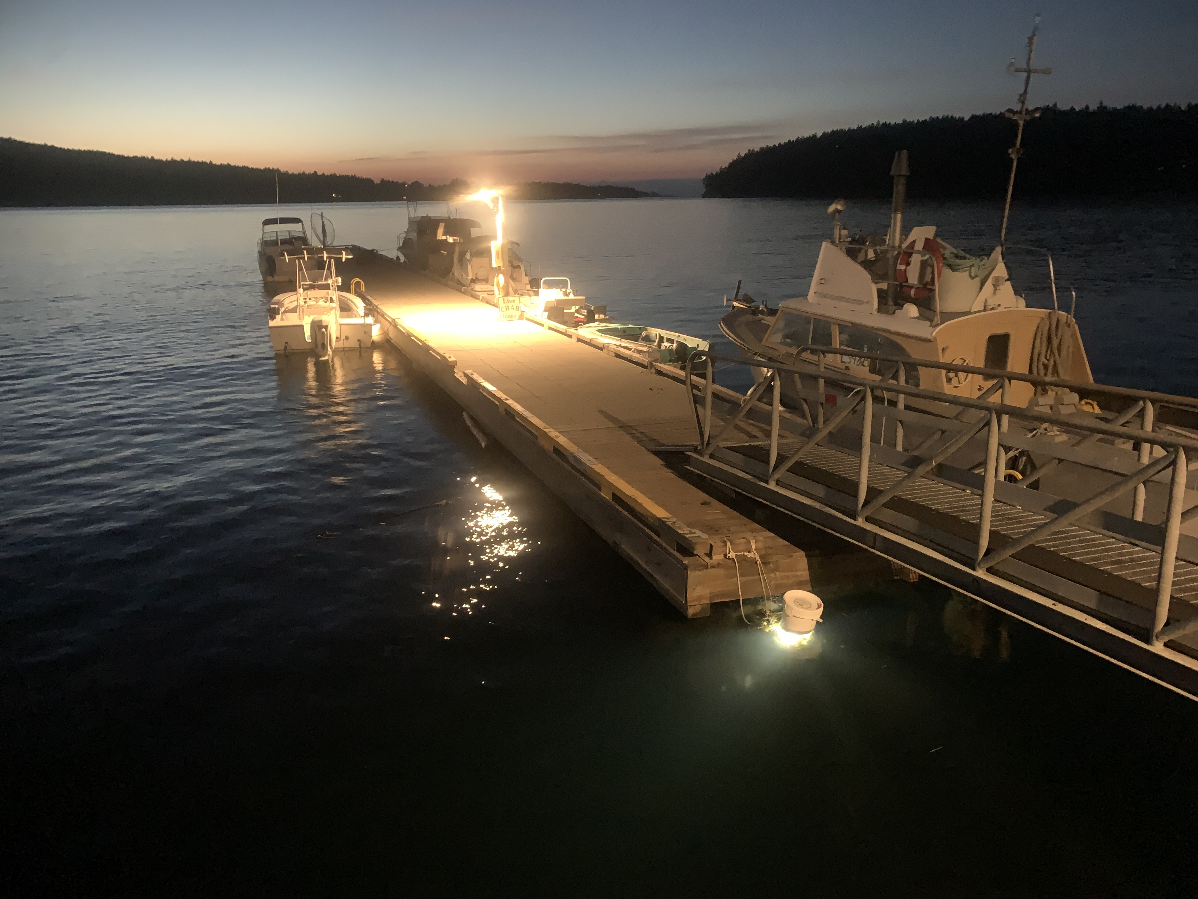
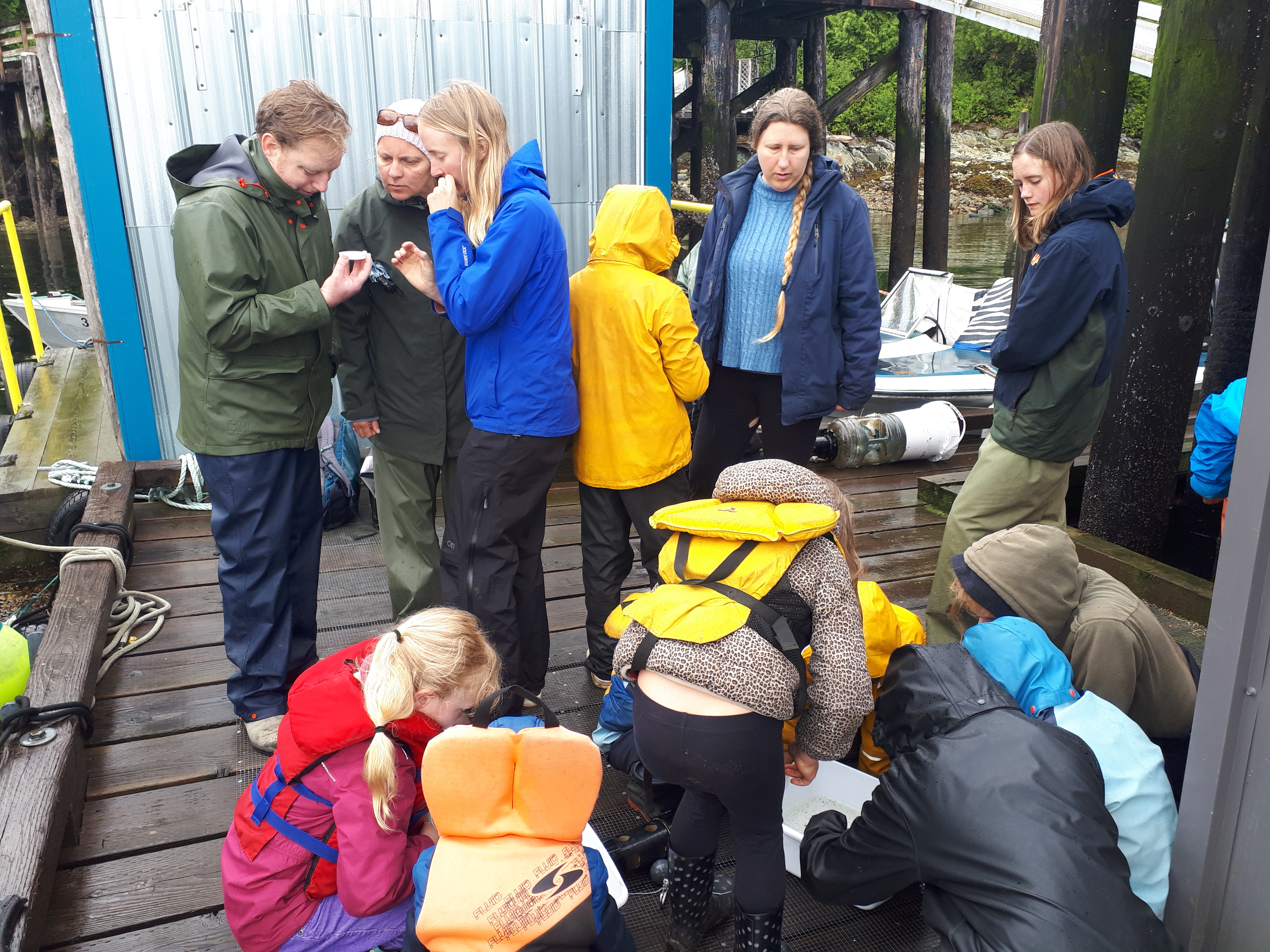
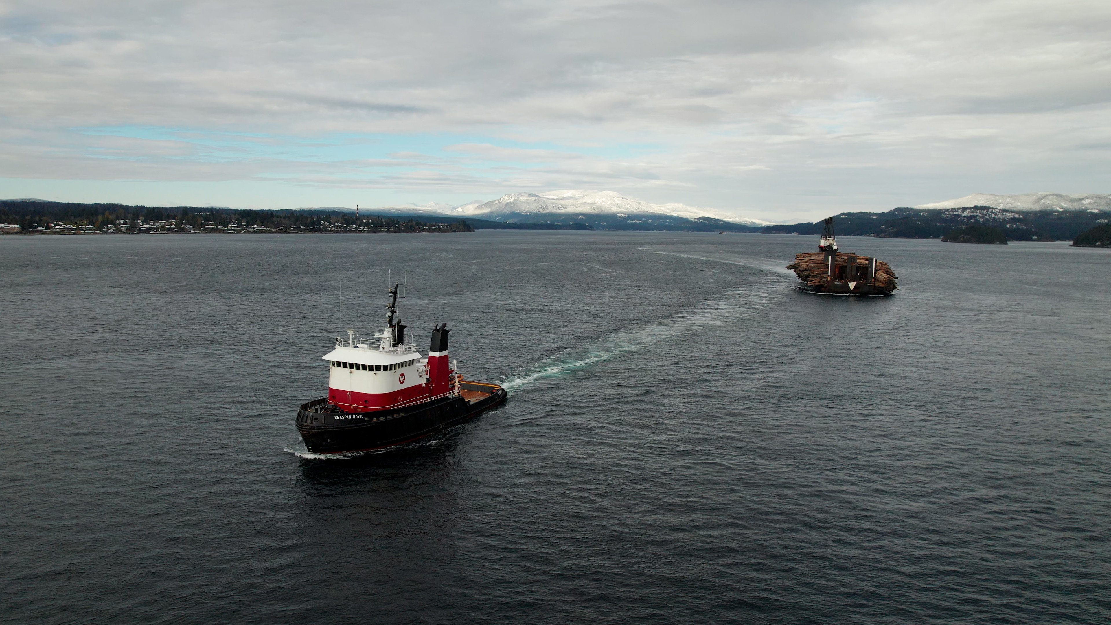
On a recent trip to Calvert Island on B.C.’s Central Coast, I was passed in my boat by the Seaspan Royal. One of the more famous tugboats out here, maybe the most famous, it’s a big, ocean-going tug—40 metres long, 6,200 horsepower, a workhorse for the heavy-duty long-haul jobs.

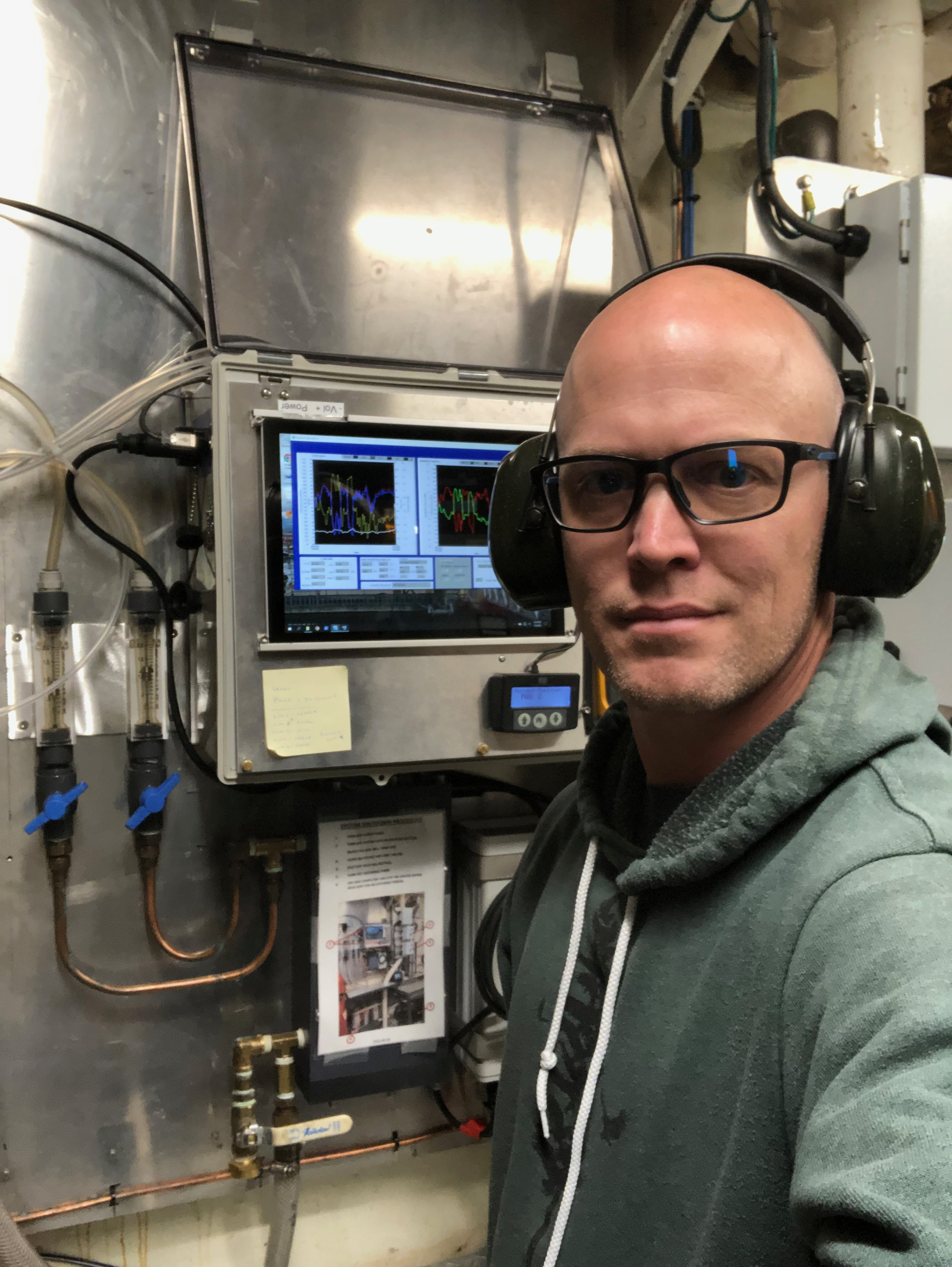
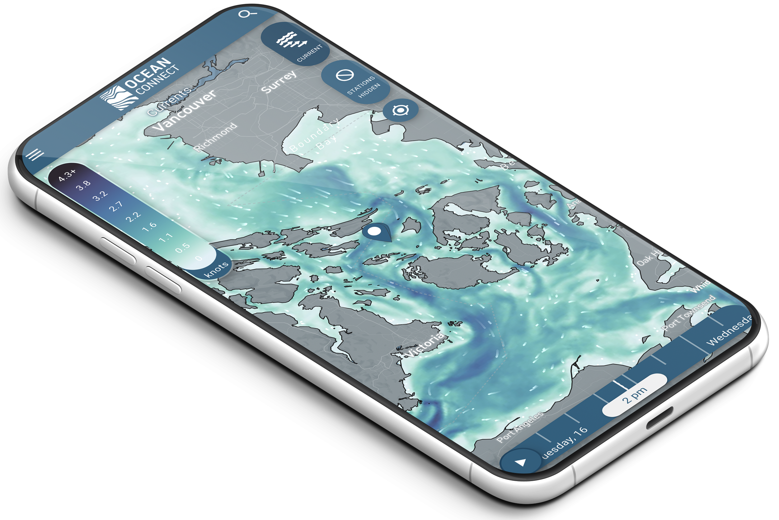
It rumbled by me in the fog, barge in tow, and I was happy to see it. Not just because I grew up on the B.C. coast and had pictures of tugboats on my bedroom wall, but because it is now hauling something else besides timber. Since 2022, the Seaspan Royal has been outfitted with a suite of oceanographic instruments—able to measure oxygen, carbon, CO2, temperature, and salinity—all of which are helping us to get a better grip on the conditions of the coastal ecosystem, in particular ocean acidification and hypoxia.

Both of these are hugely consequential issues for marine ecosystems and for the Indigenous peoples, coastal communities, shellfish farms, and fishermen that depend on them.

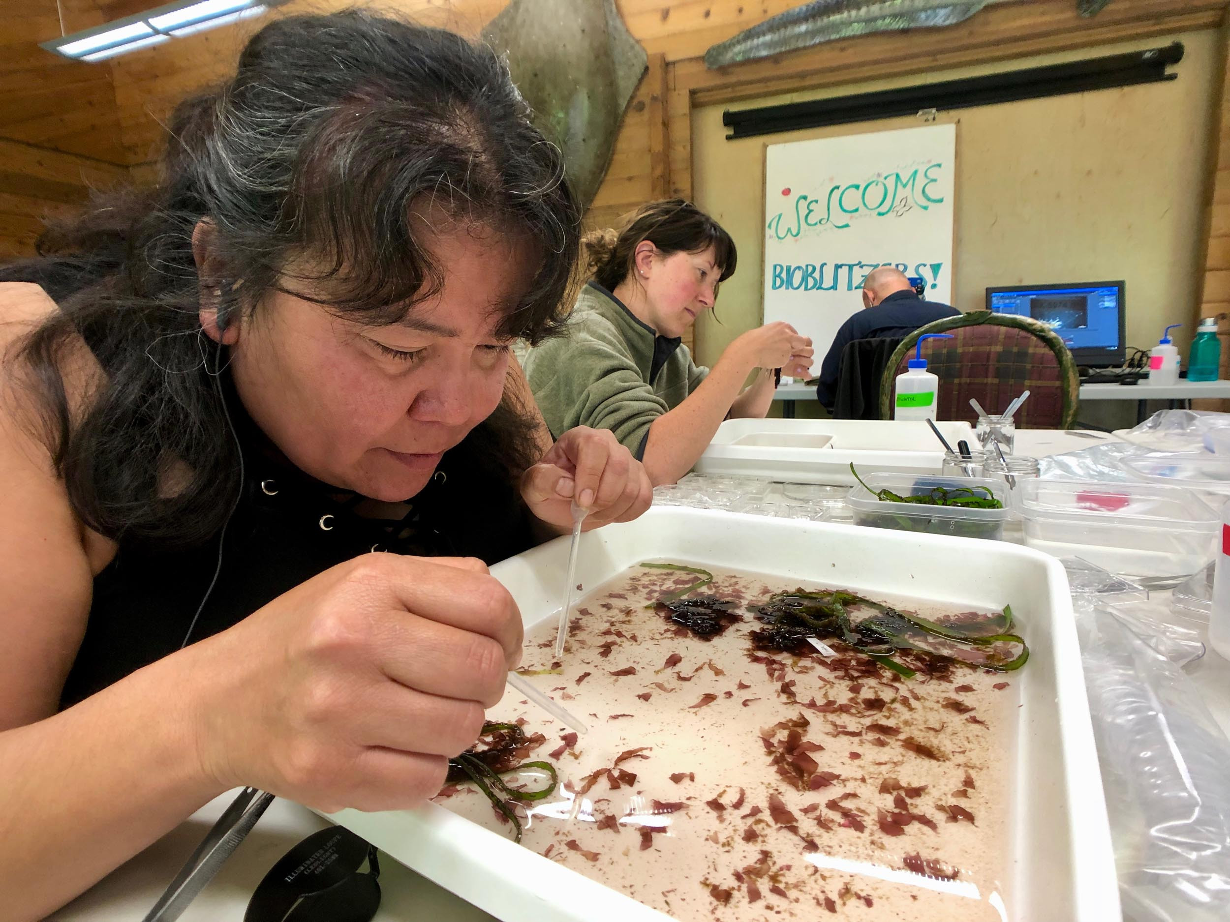
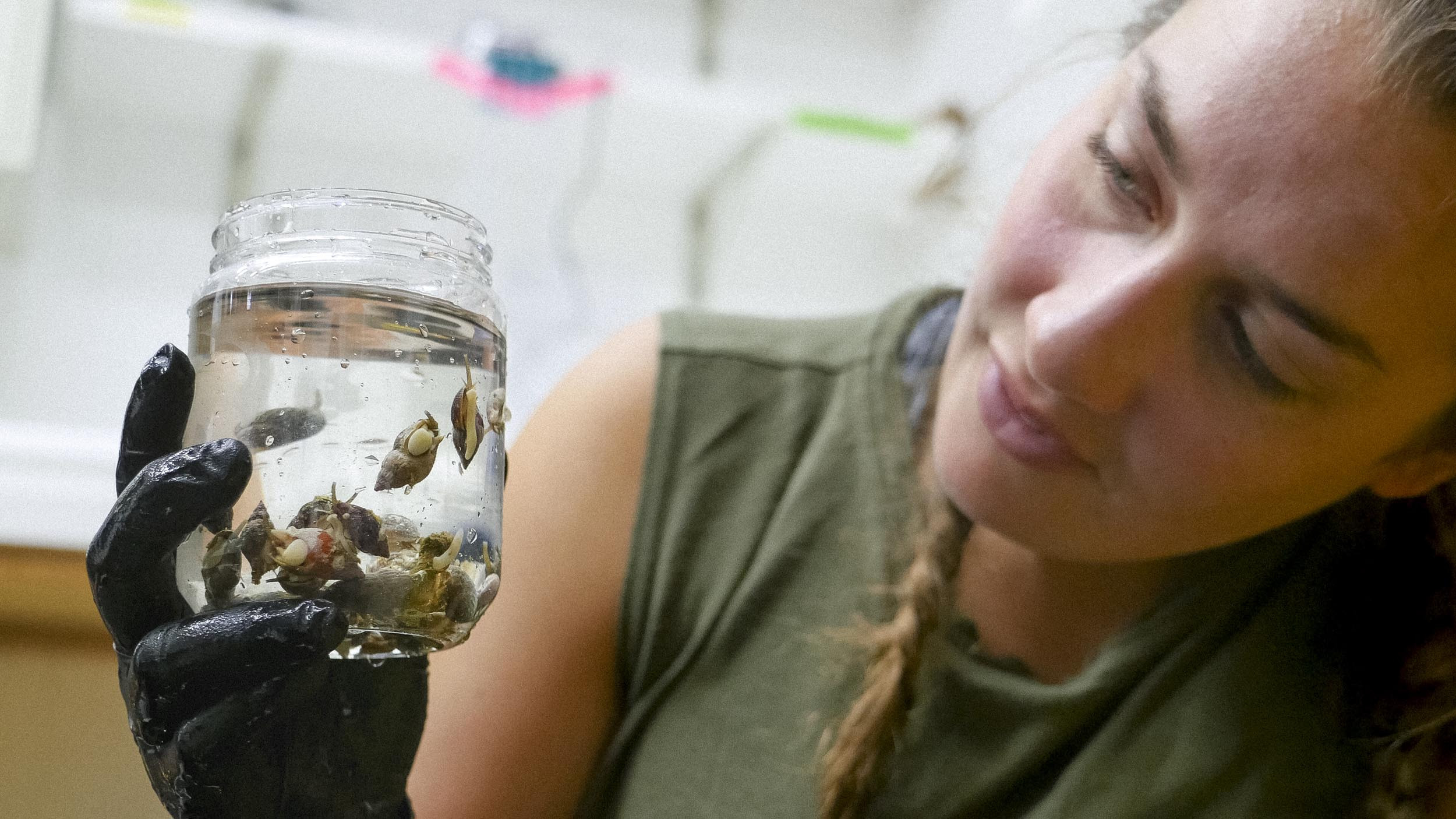
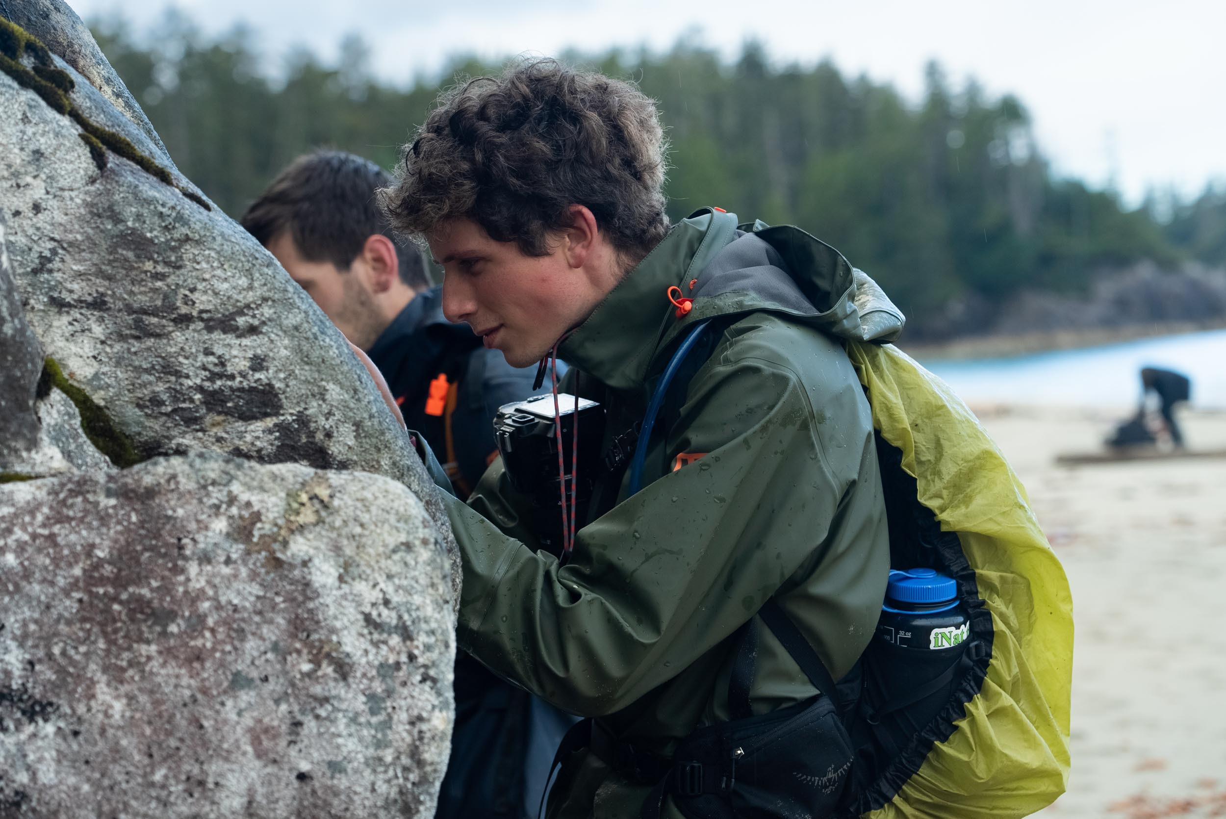
There is much concerning news about record forest fires at the moment, and rightly so. In the ocean, devastating destruction is not as readily noticed. Acidification and hypoxia—the latter referring to expanding, low-oxygen “dead zones” in the ocean—are alarming, climate-driven trends not just here in B.C., but around the world. The starting point on the road toward solutions is careful observation: understanding the problem in detail.

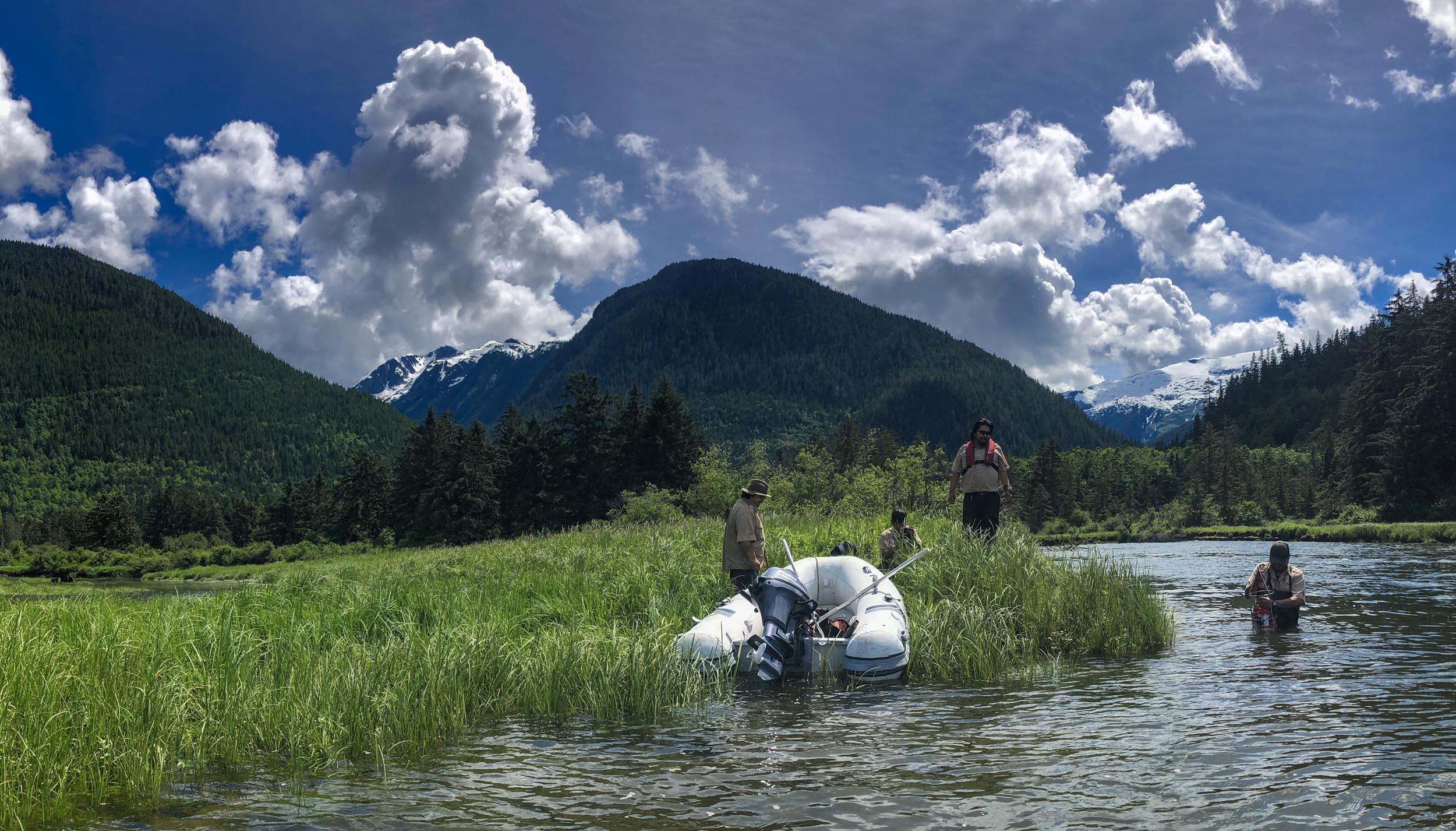
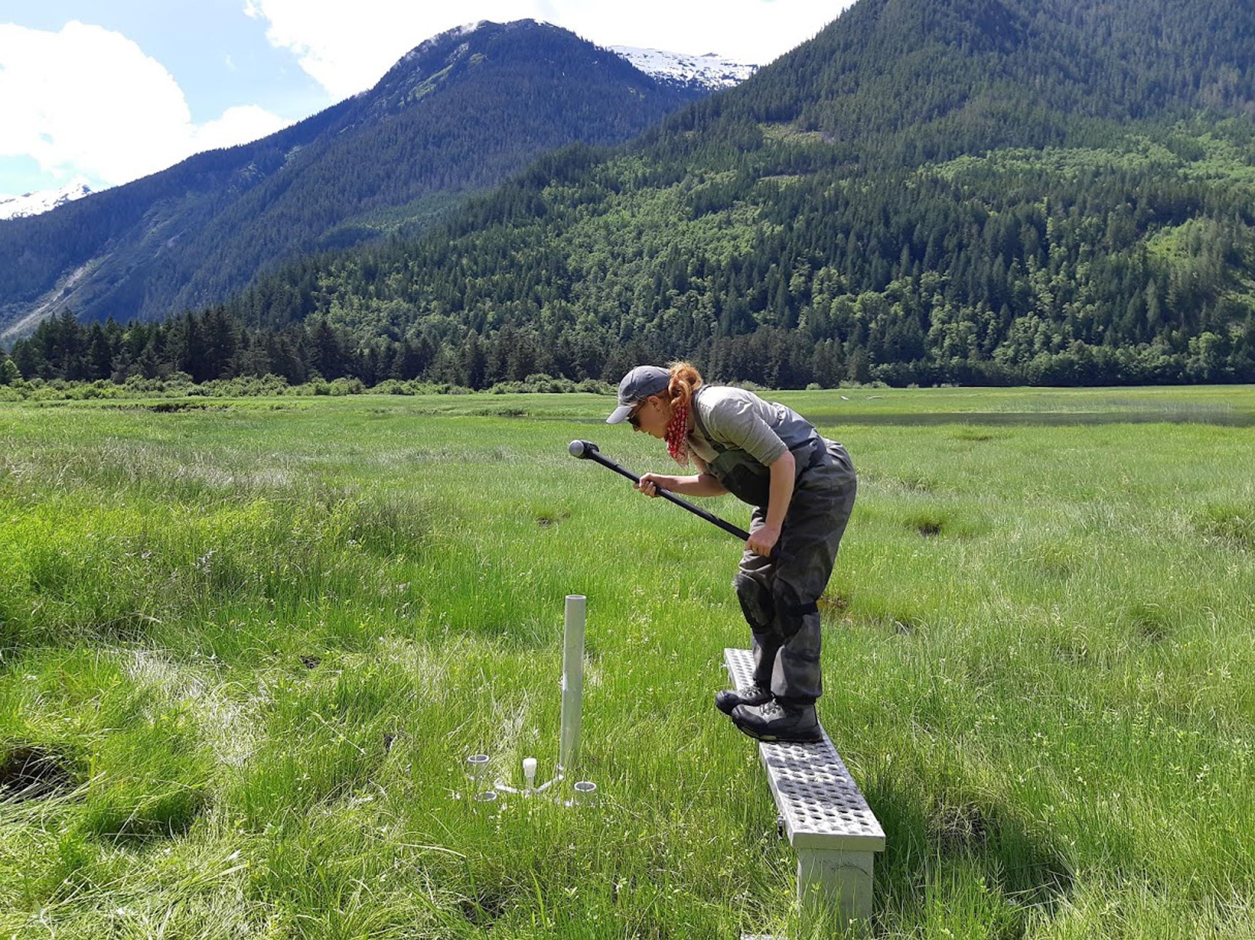
That means getting out on the ocean, which is generally expensive and logistically difficult.

Vessels of Opportunity: the Power of Partnerships

Hakai Institute research scientist Wiley Evans checks oceanographic instruments in the engine room of the Seaspan Royal. Photo by Wiley Evans

Having these oceanographic instruments on a sea-faring tug like the Seaspan Royal is, therefore, a science gold mine. The tug is out on the water year-round, even amid the heavy weather of winter storms, something difficult to impossible for most research vessels. It completes a 2,000-kilometer route around the B.C. coast nearly every two weeks.

This “vessels of opportunity” partnership between Seaspan Marine, the Hakai Institute, and the B.C. government is an example of linking scientists with industry and government to achieve things we couldn’t do by ourselves. Paying for this sort of coverage by a dedicated research vessel would be in the millions of dollars per year, if it could even be achieved.

It’s one way British Columbia, and Canada, are taking the lead in oceanographic research.

“We are taking a unique approach to measuring inorganic carbon from a vessel underway,” says Wiley Evans, head of the Hakai Institute’s ocean acidification program. “That’s very novel. Nobody does this, and I think we are going to be hugely successful in this area. It’s a model for the rest of the global community.”

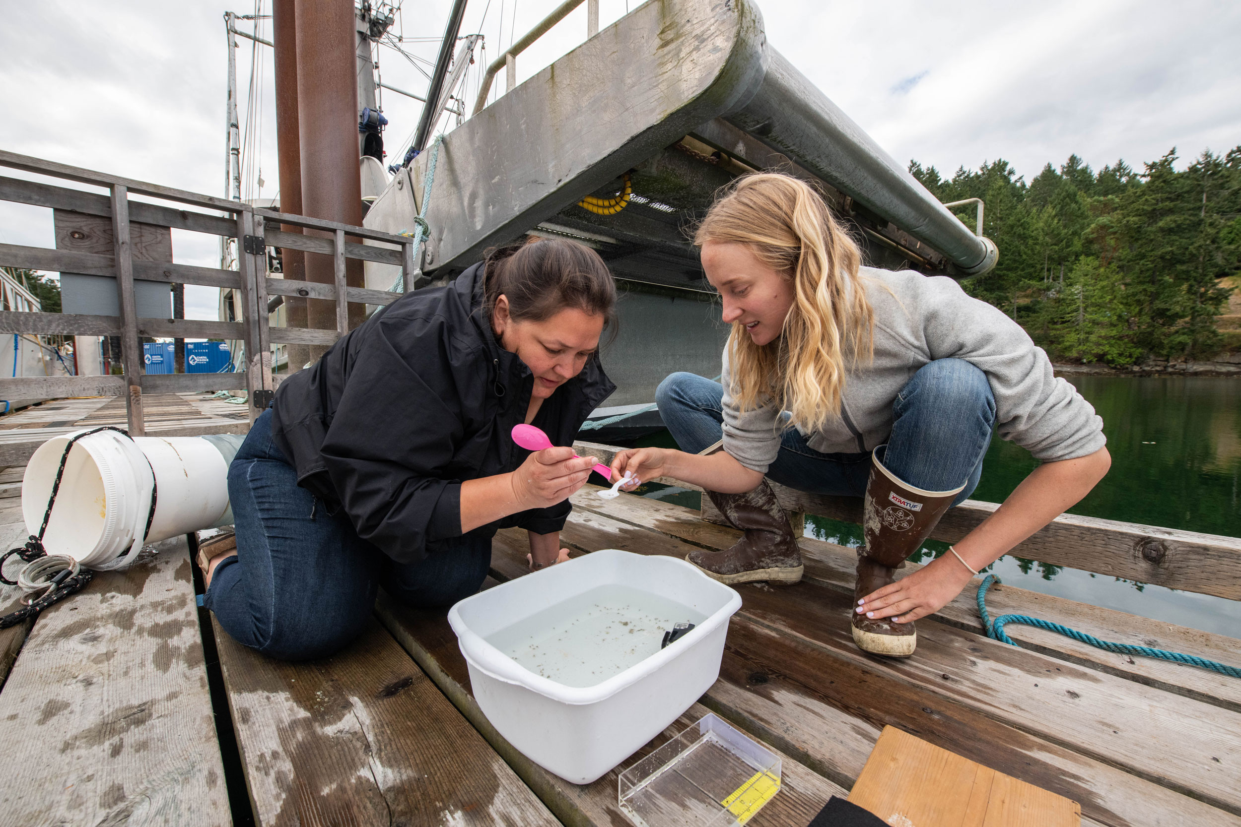
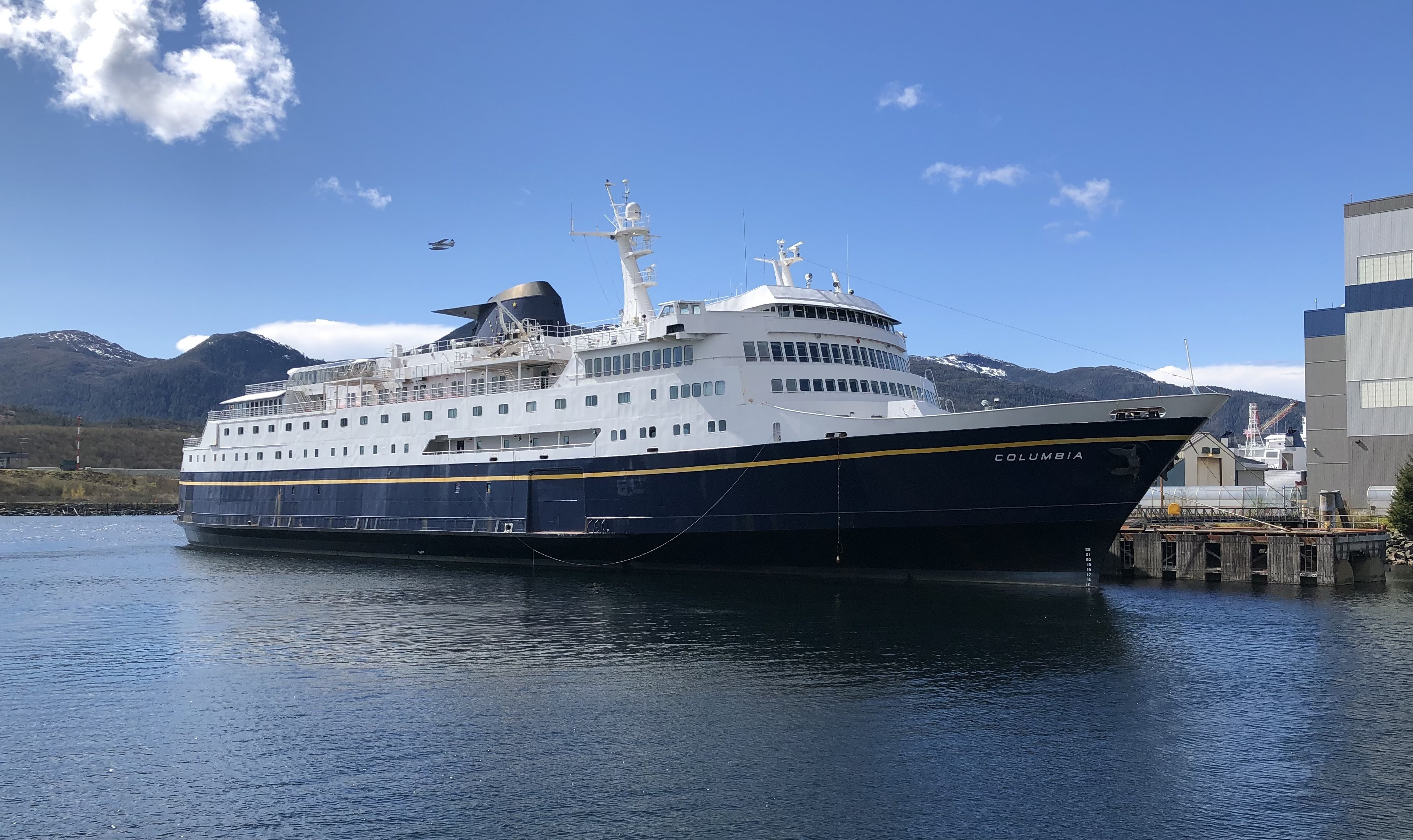
The sturdy and dauntless Seaspan Royal is only one example of vessels of opportunity. We have also partnered with the MV Columbia, an Alaska Marine Highway ferry, to take measurements from Bellingham, Washington, to Skagway, Alaska.

So, a good-news story. We’re doing important work out there. But my point here is that we need to do more. Much more.

One of the biggest barriers to ocean acidification research, for example, is the exceptional variety in local conditions. As noted, getting researchers out on the water across the landscape to the degree we’d like to see is prohibitively expensive and, really, impossible.

But working vessels—tugboats, ferries, cruise ships, and container ships—are already plying these waters regularly as they go about their daily duties. Many of these ships travel the same route repeatedly. Partnering with industries who are already on the water is a valuable and productive way to close gaps in ocean information.

But ocean measurements are only one example. Where are we not making smart linkages between research and industry? Where could we expand the reach of science—which is the crucial underpinning to intelligent and informed change—by crossing the mostly unnecessary and imagined walls between the science community and the industry partners who will work with them in good faith?

Vessels of Opportunity: the Power of Partnerships

Carrying up to 499 passengers from Bellingham, Washington, to Skagway, Alaska, the MV Columbia ferry has functioned as another "vessel of opportunity" gathering oceanographic data for Hakai Institute scientists. Photo by Wiley Evans

We are taking the lead in British Columbia and Canada in finding new ways to more deeply understand our ocean, and our world. I think we can do a lot better. And a lot bigger. In our era of increasingly turbulent and destructive climate change impacts, we need to ramp up collaboration and work across sectors.

Instead of ships that pass each other in the fog, let’s raft up and start talking—getting industry players with resources to work with researchers. Start the conversations, strategize, and find ways to amplify the good work that’s already being done.

When it comes to science in our rapidly changing world, it’s time to think bigger across the board—and across the boardroom.

After collecting years of data from partnerships with the Alaska ferry MV Columbia and the Seaspan Royal tugboat, Hakai’s vessels of opportunity program is now exploring new collaborations with suitable coastal vessels. If your organization is interested, let us know.

April 4, 2024

Tula in the News

Tula in the News

Guests enjoy the exhibits at Tula open house held on March 13, 2024. Photo by Keith Holmes

Fifty-five Acres and $92-Million

As Eric Peterson explains in detail in this inaugural issue of Tula Quarterly, he and fellow Tula codirector Christina Munck made two key announcements in March. The first was the donation of $92-million to Tula to help usher the organization toward a sustainable and independent future. The second was the transfer of 55 acres of land on Calvert Island, British Columbia, to the BC Parks Foundation. This land will become part of the Hakai Lúxvbálís Conservancy, which is collaboratively managed by the province and the Heiltsuk and Wuikinuxv First Nations. The news was covered in articles in Canada’s National Observer, the Globe and Mail, the Toronto Star, and the Financial Post, among others.

Bringing Back the Sunflower Stars

In a CBC article on efforts to restore sunflower sea star populations, Hakai marine ecologist Alyssa Gehman discussed ongoing efforts to understand sea star wasting disease. The marine epidemic hit the Pacific coast of North America in 2013 and ultimately killed an estimated 5.75 billion sunflower sea stars—an important species in kelp forests and across the marine ecosystem—along with causing massive mortality rates in several other sea star species. 

United Nations Nods to Vital Estuary Work

Rebecca Martone of the Ocean Decade Regional Collaborative Centre for the Northeast Pacific was interviewed for an article in Canada’s National Observer about global recognition for the Estuary Resilience Project (ERP). An initiative of The Nature Trust of British Columbia—in collaboration with a dozen coastal First Nations and the Hakai Institute, among others—the ERP received endorsement from the United Nations Decade of Ocean Science for Sustainable Development. You can read more about ERP in this issue of the Tula Quarterly.

April 4, 2024

Short Takes

Short Takes

Free OceanConnect App

Planning an ocean adventure around the Salish Sea? Check the latest conditions and forecasts using OceanConnect, a new web app launched in November 2023. For the Salish Sea waters that straddle British Columbia and Washington State, the free app gives ocean enthusiasts data on wind, waves, currents, and other ocean conditions. The app was created by developers and designers working with the Pacific branch of the Canadian Integrated Ocean Observing System—a collaboration between the Canadian government and several universities and nonprofits, including the Hakai Institute.

Honoring Impactful Tech

TulaSalud’s digital health platform was featured as a case study of innovative and impactful digital health projects in Dimagi’s Impact Delivery Playbook. You can learn more about the TulaSalud program here.

Science World Virtual Tour

On November 6, 2023, Science World hosted a virtual tour of the Marna Lab at the Quadra Island Ecological Observatory as part of its Future Science Leaders enrichment program for teens. Led by Jake Etzkorn, the tour highlighted the wet lab facilities, as well as Hakai Institute research and various past projects.

Hosting Ocean Scholars

The Hakai Institute is one of three partner organizations in the Centre of Excellence in Observational Oceanography, an international program providing interdisciplinary and hands-on courses in ocean observation for up to 10 scholars. The Ocean Frontier Institute at Dalhousie University in Nova Scotia, will be the primary host for the upcoming cohort; the Hakai Institute and the Ocean Decade Regional Collaborative Centre for the Northeast Pacific will host scholars in 2025 for experiential learning and science communication training. The Centre of Excellence in Observational Oceanography is an initiative of the Nippon Foundation and the Partnership for Observation of the Global Ocean

From My Coast to Yours

Share a coastal photo for Hakai Magazine’s new newsletter segment, “From My Coast to Yours.” Got a nice shot of a shoreline you love? A snap of a reef you snorkeled on vacation or a beach scene from the ferry lineup? Send Vanessa Minke-Martin, who spearheads the segment, your high-res pic, along with a few sentences about it—where you took it and what that spot means to you, or what you were doing there. Being funny or poignant is always nice, but not essential! Vanessa will do a light edit and Hakai Magazine will publish it in their weekly newsletter, which you can subscribe to here.

Short Takes

Kristina Blanchflower’s “From My Coast To Yours” submission was her photo of Cabo Pulmo, in Baja California Sur, Mexico.

Join our community Sign up for our newsletter, the Tula Quarterly.