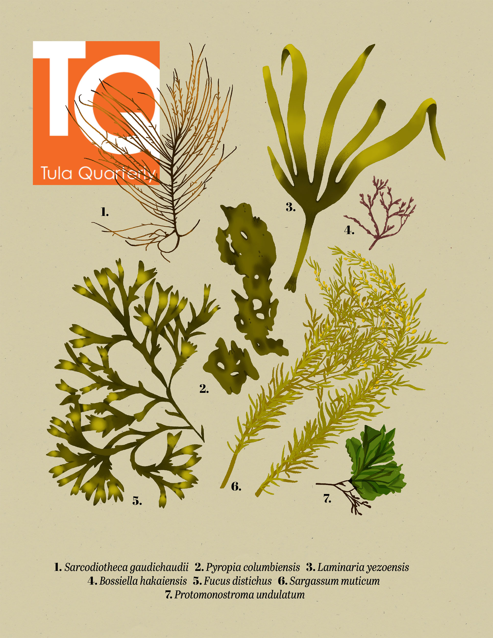
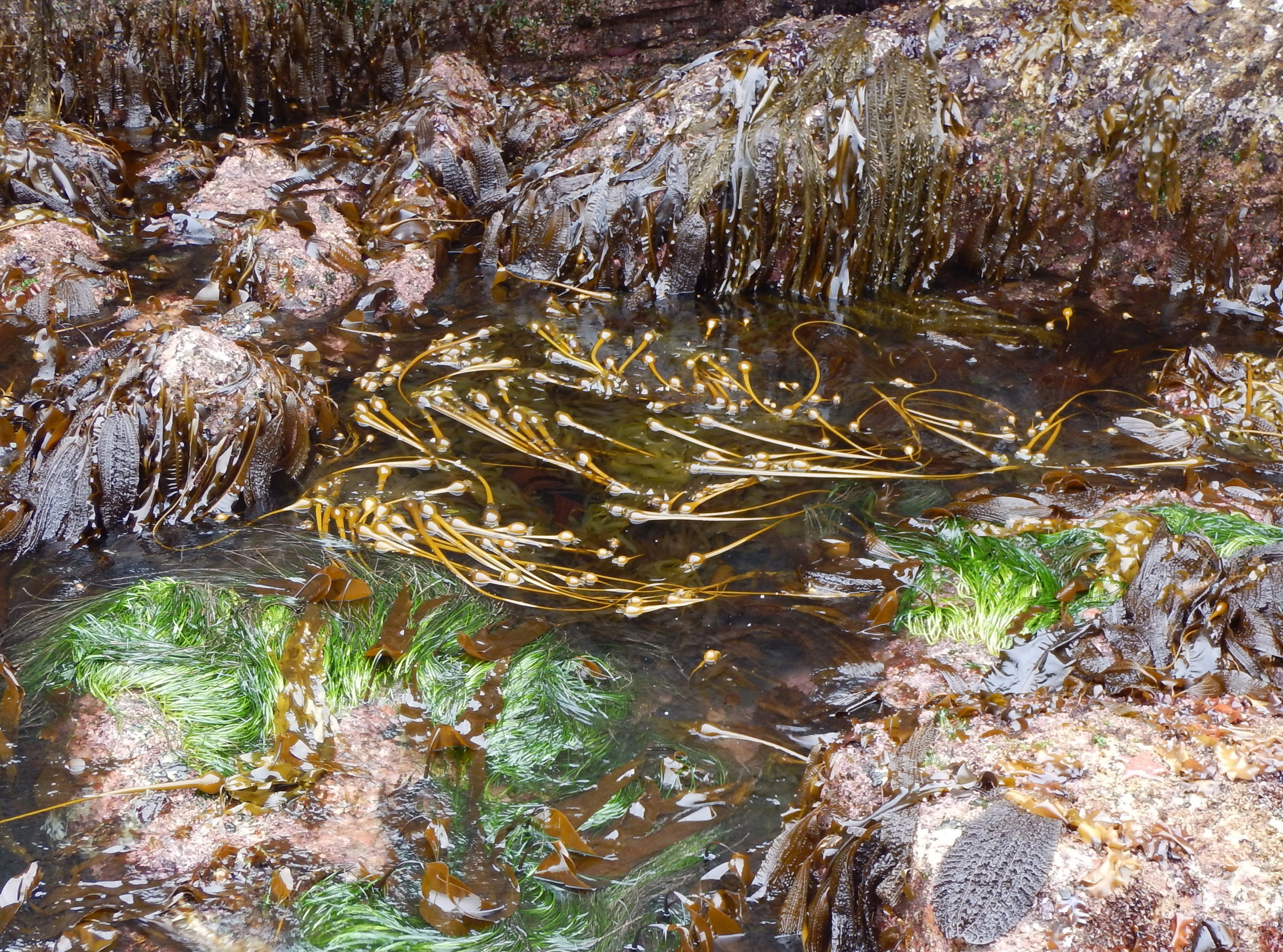
An Experimental Test of Dispersal Limitation of Species Diversity in Eelgrass Meadows
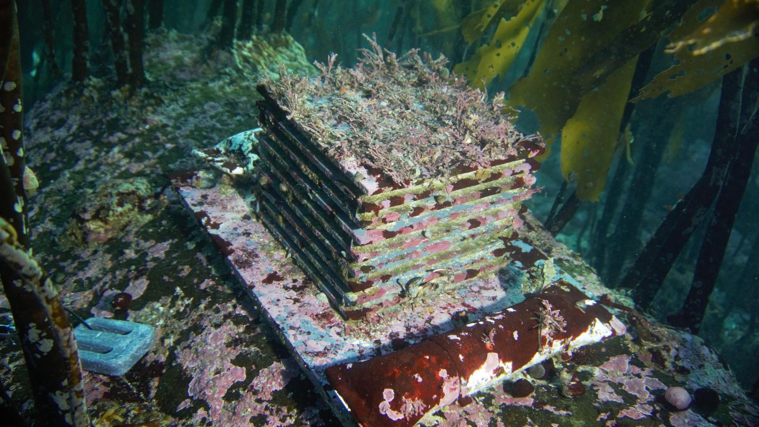
Biogenic habitats, including eelgrass, support productive and diverse species assemblages in spatially heterogeneous seascapes. Eelgrass-associated faunal diversity depends not only on conditions within each eelgrass meadow but also on their probability of dispersing among eelgrass meadows in a seascape in which meadows are separated by soft sediments, kelp, or rocky habitats. Experiments are required to establish dispersal limitation in communities.
Forbes, C., Hessing-Lewis, M. & O’Connor, M.I. An Experimental Test of Dispersal Limitation of Species Diversity in Eelgrass Meadows. Estuaries and Coasts 48, 35 (2025). https://doi.org/10.1007/s12237-024-01472-2
Sedimentary ancient DNA as part of a multimethod paleoparasitology approach reveals temporal trends in human parasitic burden in the Roman period
The detection of parasite infections in past populations has classically relied on microscopic analysis of sediment samples and coprolites. In recent years, additional methods have been integrated into paleoparasitology such as enzyme-linked immunosorbent assay (ELISA) and ancient DNA (aDNA). The aim of this study was to evaluate a multimethod approach for paleoparasitology using microscopy, ELISA, and sedimentary ancient DNA (sedaDNA) with a parasite-specific targeted capture approach and high-throughput sequencing.
Ledger ML, Murchie TJ, Dickson Z, Kuch M, Haddow SD, et al. (2025) Sedimentary ancient DNA as part of a multimethod paleoparasitology approach reveals temporal trends in human parasitic burden in the Roman period. PLOS Neglected Tropical Diseases 19(6): e0013135. https://doi.org/10.1371/journal.pntd.0013135
High sensitivity to ocean acidification in wild out-migrating juvenile Pacific salmon is not impacted by feeding success
Salmon populations are declining worldwide, with high mortality rates during juvenile marine migration presenting a bottleneck to recruitment. We investigated the combined effects of ocean acidification and food limitation on the survival, condition, and gene expression profiles of juvenile chum salmon (Oncorhynchus keta) to develop predictive biomarkers for CO2 exposure and food deprivation.
Frommel, A.Y., Akbarzadeh, A., Chalifoux, V., Ming, T. J., Collicutt, B., Rolheiser, K., Opie, R., Miller, K. M., Brauner, C. J., & Hunt. B. P. V. (2025). High sensitivity to ocean acidification in wild out-migrating juvenile Pacific salmon is not impacted by feeding success. Ecological Applications, 35(5): e70058. https://doi.org/10.1002/eap.70058
Merging coastal archaeology and conservation paleobiology to evaluate shellfish resilience to Indigenous harvest over the past 3000 years
Globally, shellfisheries are increasingly important for food, nutrition, and livelihoods. However, sustainable management of these fisheries is threatened by human activities, including climate change, overexploitation, and disruptions to natural ecosystems. Indigenous archaeological records of shellfish are ubiquitous but underutilized data sources that could expand and inform current management practices. Here, we merge paleobiological and archaeological methodologies to evaluate relative abundances of crabs and their clam prey over the past 3000 years on western Vancouver Island in the northeast Pacific.
Barclay, K. M., Baum, J. K., St. Claire, D., & McKechnie, I. (2025). Merging coastal archaeology and conservation paleobiology to evaluate shellfish resilience to Indigenous harvest over the past 3000 years. Biological Conservation, v.307. https://doi.org/10.1016/j.biocon.2025.111186
Impact of CO2-induced aquatic acidification on environmental DNA and RNA shedding and persistence
Anticipated future increases in CO2 levels are predicted to have a diverse array of lethal and non-lethal effects on the marine ecosystem. While there has been extensive research on the physiological impacts of ocean acidification on marine species, our understanding of how increasing levels of carbon dioxide affect the shedding and decay of environmental DNA and RNA (eDNA and eRNA) in marine habitats is limited. In the present study, we conducted mesocosm experiments to determine the shedding and decay rate constants of eDNA and eRNA in M. gigas (Magallana [Crassostrea] gigas). To our knowledge, this is the first study manipulating seawater pH using CO2.
Lopez, M. L. D., Rolheiser, K. C., Etzkorn J., Imbery, J. J., Lemay, M. A., Giménez, I., & Helbing, C. C. (2025). Impact of CO2-induced aquatic acidification on environmental DNA and RNA shedding and persistence. Environmental DNA, 7(4), e70158. https://doi.org/10.1002/edn3.70158
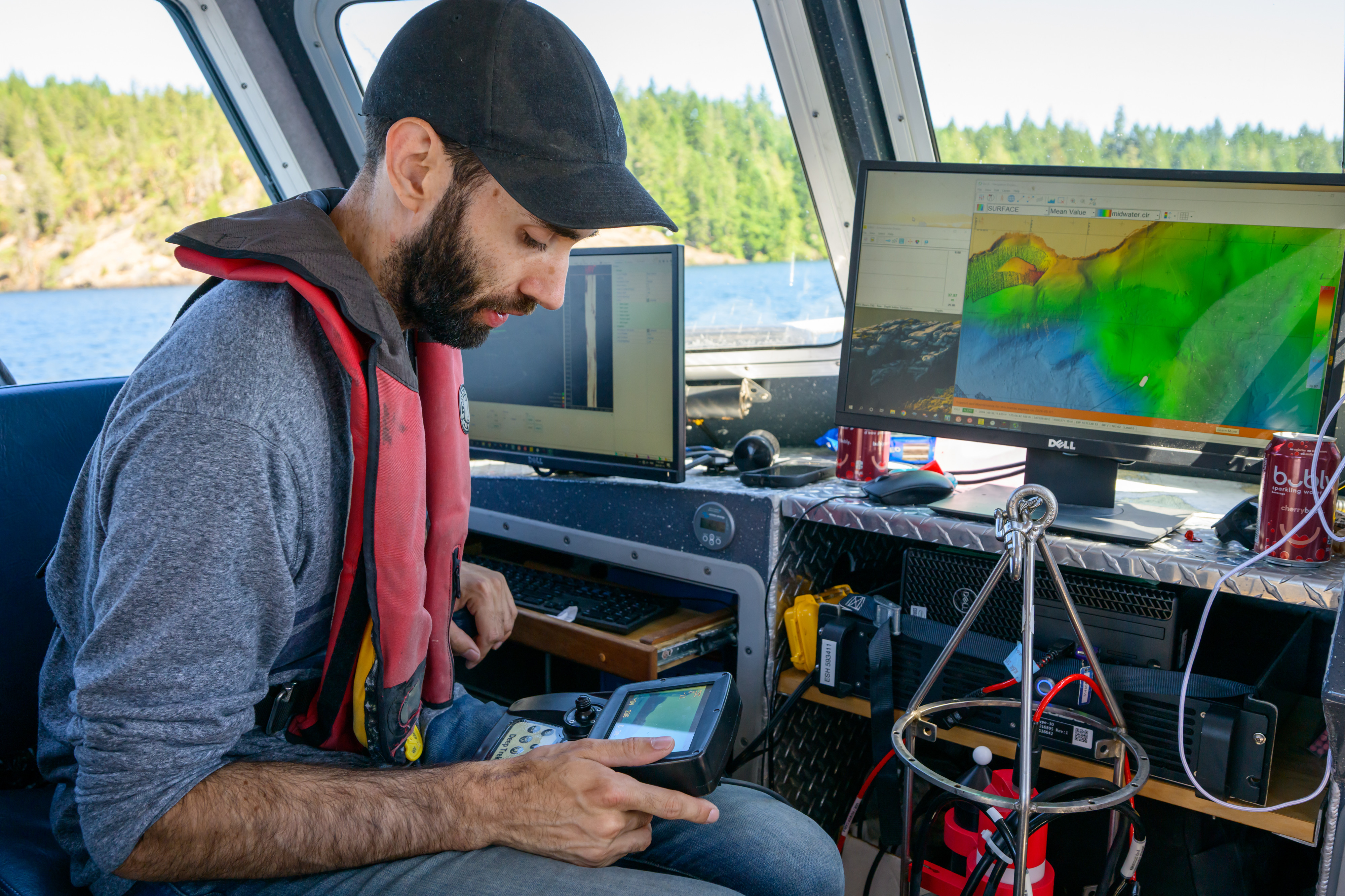
A blueprint for national assessments of the blue carbon capacity of kelp forests applied to Canada’s coastline
Kelp forests offer substantial carbon fixation, with the potential to contribute to natural climate solutions (NCS). However, to be included in national NCS inventories, governments must first quantify the kelp-derived carbon stocks and fluxes leading to carbon sequestration. Here, we present a blueprint for assessing the national blue carbon capacity of kelp forests in which data synthesis and Bayesian hierarchical modeling enable estimates of kelp carbon production, storage, and export capacity from limited data.
McHenry, J., Okamoto, D. K., Filbee-Dexter, K., Krumhansl, K. A., MacGregor, K. A., Hessing-Lewis, M., Timmer, B., Archambault, P., Attridge, C. M., Cottier, D., Costa, M., Csordas, M., Johnson, L. E., Lessard, J., Mora-Soto, A., Metaxas, A., Neufeld, C. K., Pontier, O., Reshitnyk, L., Starko, S., Yakimishyn, J., & Baum, J. K. (2025). A blueprint for national assessments of the blue carbon capacity of kelp forests applied to Canada’s coastline. npj Ocean Sustainability 4, 30. https://doi.org/10.1038/s44183-025-00125-6
The Tsalwadi Site: Late Pleistocene and early Holocene stone tool industries on the lower Woss River, Vancouver Island, Canada
The Tsalwadi Archaeology Site (EbSp-9) has components that date to the terminal Pleistocene and early Holocene. It is situated on relict terraces and scroll bars of the Woss River on north-central Vancouver Island, a productive salmon stream. Two discrete archaeological components have been identified at EbSp-9. Overall, stone tool detritus from both components is primarily early reduction stage materials. Expedient tools are also common. Evidence of salmon in the river dates to at least 14,000 years ago. Site usage may have been related to fishing, processing fish, creating fish camp infrastructure, and rendering stone tools from river rock.
McLaren, D., Dyck, A., Letham, B., Alfred, H., Fedje, D., Hebda, C. F. G., Abbott, C., Law, V., & Stafford, J. (2025). The Tsalwadi site: Late Pleistocene and early Holocene stone tool industries on the lower Woss River, Vancouver Island, Canada. PaleoAmerica, 1–21. https://doi.org/10.1080/20555563.2025.2510718
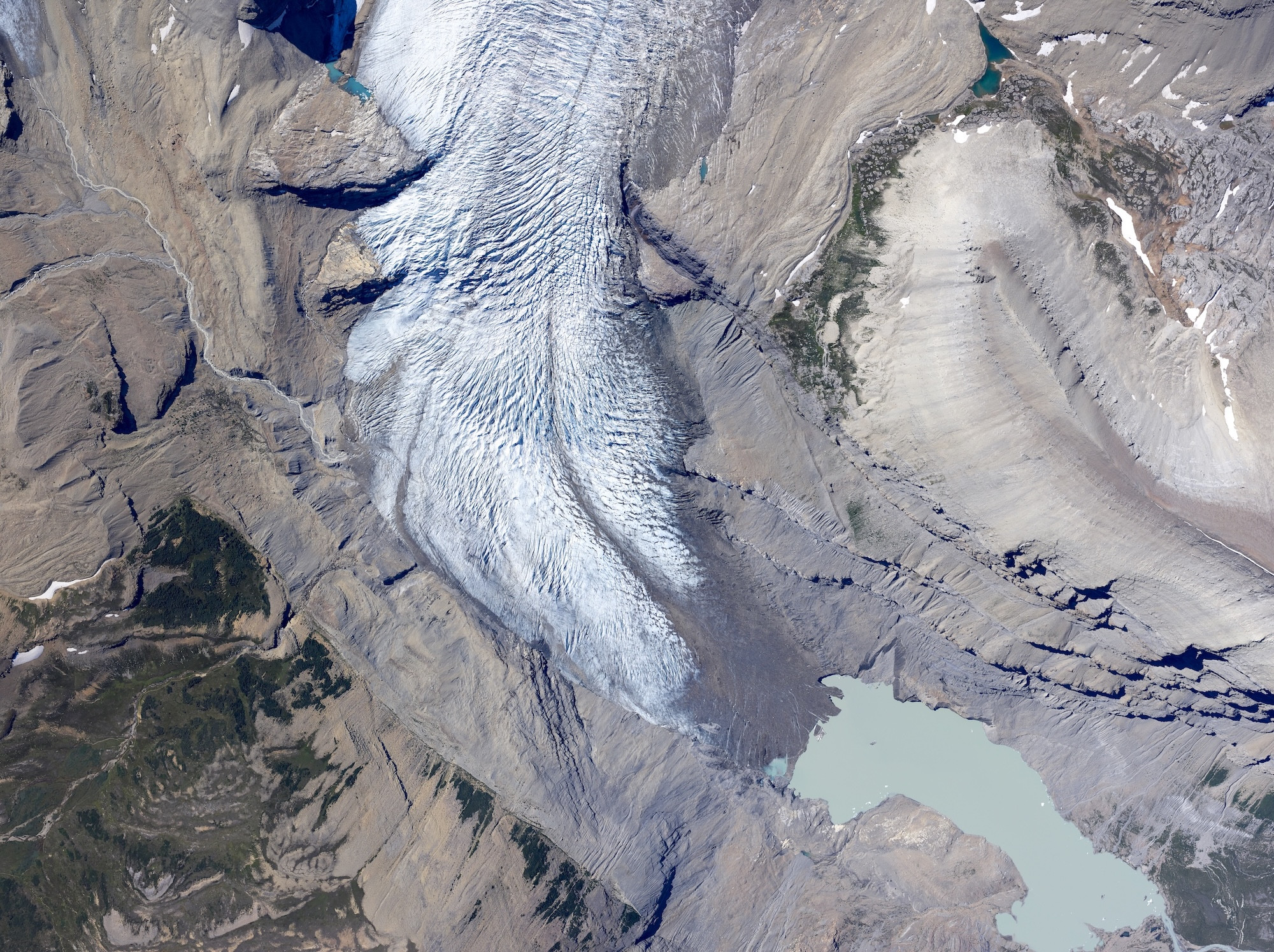
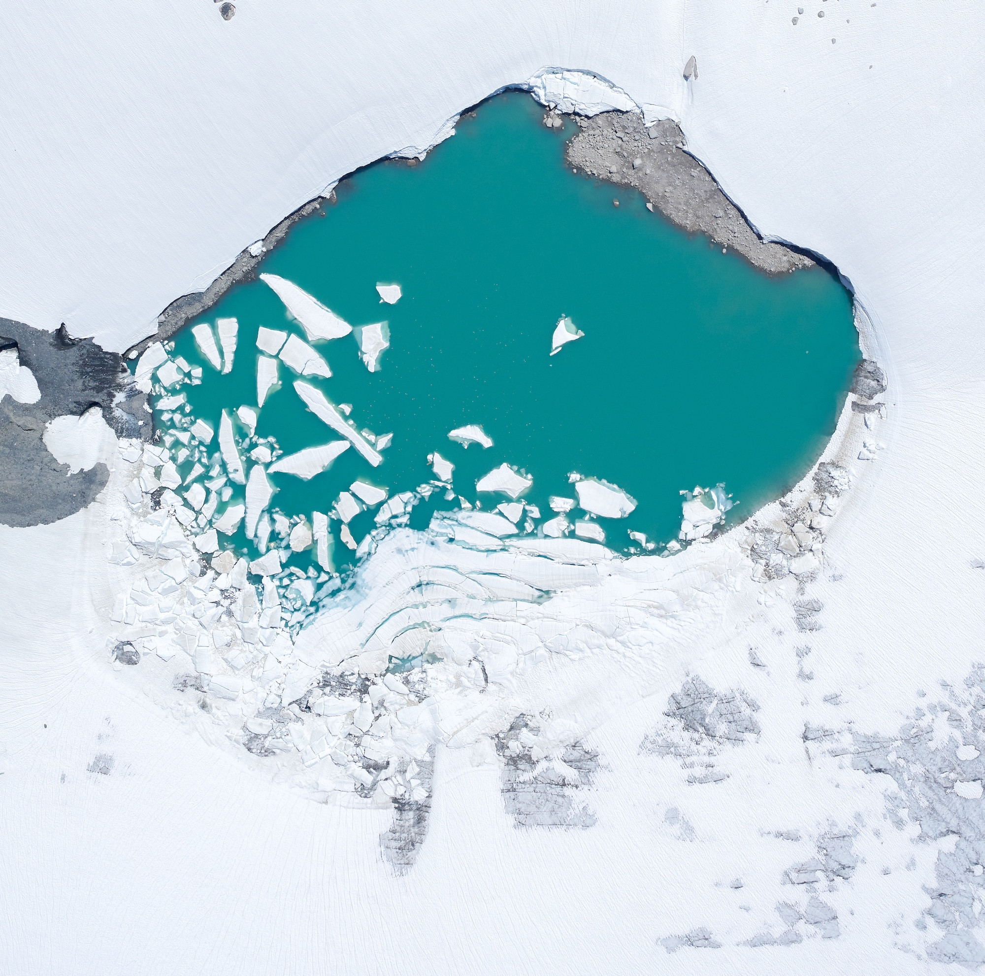
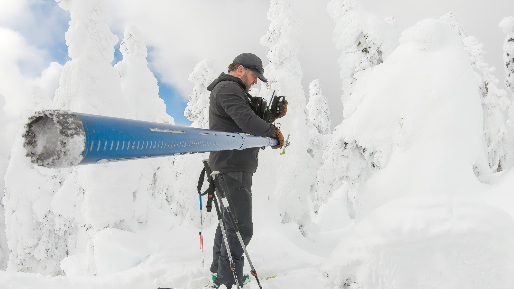
Glaciers in western Canada-conterminous US and Switzerland experience unprecedented mass loss over the last four years (2021–2024)
Over the period 2021–2024, glaciers in Western Canada and the conterminous US (WCAN-US), and Switzerland respectively lost mass at rates of 22.2 ± 9.0 and 1.5 ± 0.3 Gt yr−1 representing a twofold increase in mass loss compared to the period 2010–2020. High transient snow lines, and impurity loading due to wildfires (WCAN-US) or Saharan dust (Switzerland) darkened glaciers and thereby increased mass loss via greater absorbed shortwave radiation available for melt. This ice-albedo feedback will lead to continued high rates of thinning unless recently exposed dark ice and firn at high elevations is buried by seasonal snowfall.
Menounos, B., Huss, M., Marshall, S., Ednie, M., Florentine, C., & Hartl, L. (2025). Glaciers in western Canada-conterminous US and Switzerland experience unprecedented mass loss over the last four years (2021–2024). Geophysical Research Letters, 52(12), https://doi.org/10.1029/2025GL115235
Beyond presence and absence: using eDNA and microsatellite genotyping to estimate densities of microscopic life forms in wild populations
Many challenges arise when monitoring organisms with cryptic life histories. For example, some cryptic life stages are hard to identify or sample due to their microscopic nature, which creates unknowns surrounding an organism’s population dynamics. Environmental DNA (eDNA) is a non-invasive sampling technique used to monitor cryptic species when traditional survey methods are challenging. In this study, we present two complementary R packages that can be used to estimate the number of individuals in an eDNA sample.
Liggan, L. M., Rolheiser, K. C., Pontier, O., Ramírez-Ibaceta, B., Giménez, I. & Alberto, F. (2025). Beyond presence and absence: Using eDNA and microsatellite genotyping to estimate densities of microscopic life forms in wild populations. Molecular Ecology Resources, e14116. https://doi.org/10.1111/1755-0998.14116
Sedimentary DNA metabarcoding and Indigenous knowledge reconstruct natural and anthropogenic disturbances to a freshwater lake in the oil sands region of Alberta, Canada
Sedimentary DNA (sedDNA) is crucial for reconstructing historical community compositions in aquatic ecosystems. In Cowpar Lake (Doghostú), Alberta, a significant landslide event in the early 1940s impacted the lake’s geochemistry and fish populations, as documented by Indigenous knowledge from the Chipewyan Prairie First Nation and corroborated by targeted fish sedDNA analyses. The present study used genes for DNA metabarcoding of a sediment core from Cowpar Lake to assess the effect of the documented landslide and to reconstruct the historical community composition of eukaryotic functional trophic groups.
Lopez, M. L. D., Dersch, A., Drevnick, P., Clemente-Carvalho, R., Morien, E., Hebda, C. F. G., Ussery, E., McMaster, M. E., Lemay, M. A. & Helbing, C. C. (2025). Sedimentary DNA metabarcoding and Indigenous knowledge reconstruct natural and anthropogenic disturbances to a freshwater lake in the oil sands region of Alberta, Canada. Environmental DNA, 7(4), e70169. https://doi.org/10.1002/edn3.70169
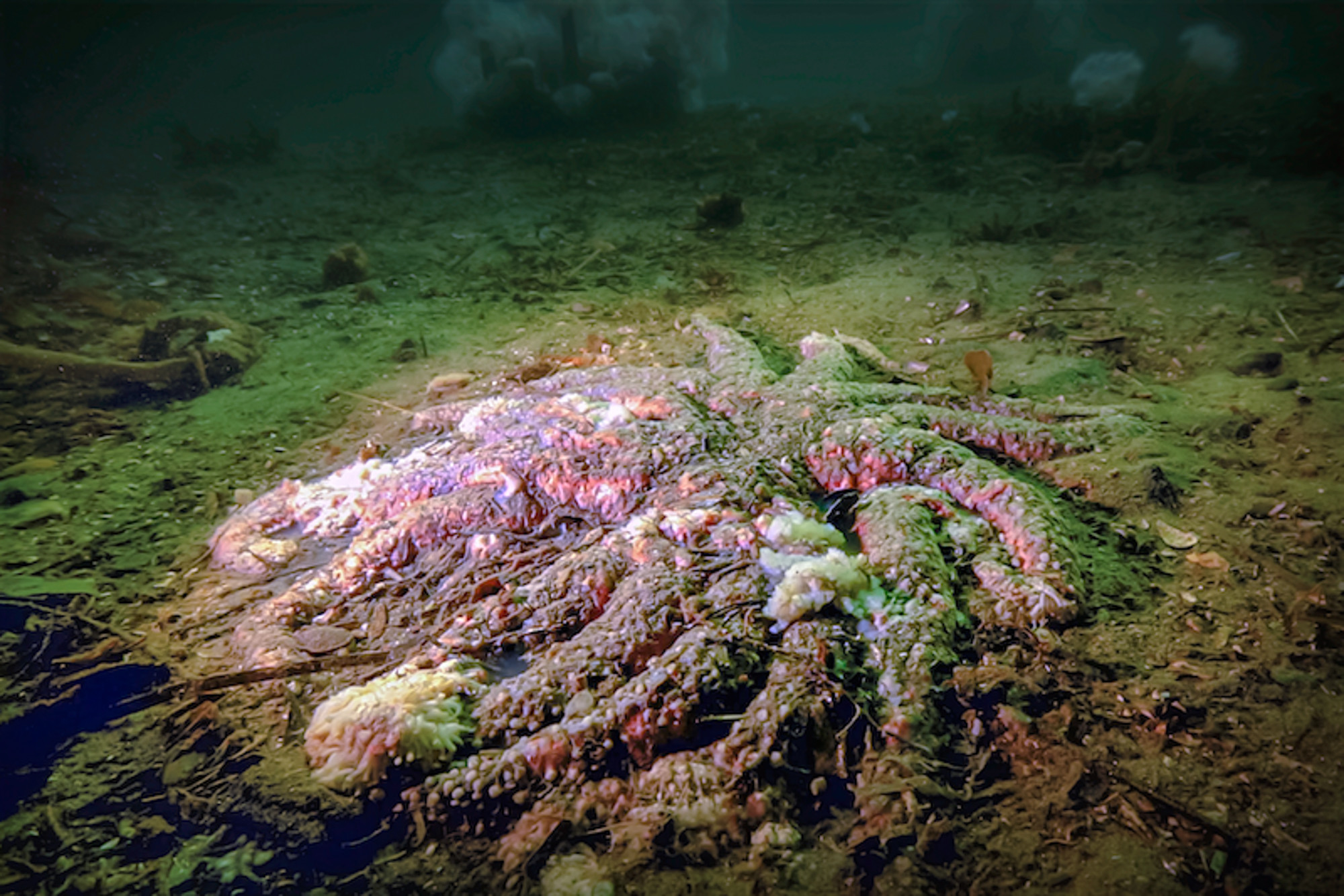
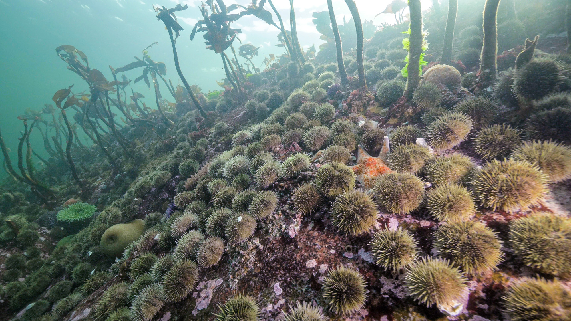
Vibrio pectenicida strain FHCF-3 is a causative agent of sea star wasting disease
More than 10 years following the onset of the sea star wasting disease (SSWD) epidemic, affecting over 20 asteroid species from Mexico to Alaska, the causative agent has been elusive. SSWD killed billions of the most susceptible species, sunflower sea stars (Pycnopodia helianthoides), initiating a trophic cascade involving unchecked urchin population growth and the widespread loss of kelp forests. Identifying the causative agent underpins the development of recovery strategies. Sequencing of diseased sea star coelomic fluid samples from experiments and field outbreaks revealed a dominant proportion of reads assigned to the bacterium Vibrio pectenicida.
Prentice, M. B., Crandall, G. A., Chan, A. M., Davis, K. M., Hershberger, P. K., Finke, J. F., Hodin, J., McCracken, A., Kellogg, C. T. E., Clemente-Carvalho, R. B. G., Prentice, C., Zhong, K. X., Harvell, C. D., Suttle, C. A. & Gehman, A. M. (2025). Vibrio pectenicida strain FHCF-3 is a causative agent of sea star wasting disease. Nature Ecology & Evolution. https://doi.org/10.1038/s41559-025-02797-2